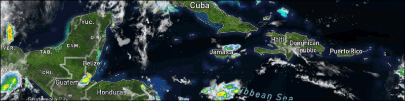
Tropical wave 92L in Eastern Atlantic is a threat to develop, affect the CaribbeanA strong tropical wave in the eastern Atlantic, designated 92L by the National Hurricane Center (NHC), was positioned about 1,000 miles west-southwest of the Cabo Verde Islands at 8 a.m. EDT Sunday. The wave was headed west at about 20 mph, and is a threat to develop into a dangerous long-track Cape Verde-type hurricane that could threaten the Caribbean and North America.
The wave had favorable conditions for development on Sunday afternoon, with sea surface temperatures near 28 degrees Celsius (83°F) and moderate wind shear of 10 - 20 knots. The system was embedded in a moist atmosphere with a mid-level relative humidity of 70%. Satellite images on Sunday showed that the wave was poorly organized, but had excellent spin and a steadily increasing area of heavy thunderstorms.
The wave will progress westward to west-northwestward at 15 - 20 mph over the next five days. Some promising news is that during its trek 92L will have to contend with dry air from the Saharan Air Layer, which is located to its northwest. The 12Z Sunday run of the SHIPS model predicted that the atmosphere surrounding 92L would dry to a relative humidity of 55% by Wednesday, when the system will be approaching the Lesser Antilles Islands. However, the three best models for predicting tropical cyclone genesis - the European, GFS, and UKMET models - all supported intensification of 92L into a tropical depression by Thursday. In an 8 a.m. EDT Sunday Tropical Weather Outlook, NHC gave 92L two-day and five-day odds of formation of 60% and 90%, respectively. The next name on the Atlantic list of storms is an obscure one, "Isaias" (pronounced ees-ah-EE-ahs).
![[Linked Image]](//Ambergriscaye.com/art8/116364532_2767578650152792_6125148723019494940_o.jpg) For more information, check the daily Tropical Weather Outlook, click here
For more information, check the daily Tropical Weather Outlook, click here


 General Situation:


![[Linked Image]](http://Ambergriscaye.com/art8/116364532_2767578650152792_6125148723019494940_o.jpg)


![[Linked Image]](http://Ambergriscaye.com/art8/belmopanwx200727.jpg)
![[Linked Image]](http://Ambergriscaye.com/art8/jcmlbhgcafbnebkc.jpg)
![[Linked Image]](http://Ambergriscaye.com/art8/dailywx200727b.jpg)


