Previous Thread
Next Thread
Print Thread
Joined: Oct 1999
Posts: 84,398
Marty Offline OP
OP Offline

Belize Weather Forecast: July 23, 2022


General Situation:
Ambergris Caye: Conditions this morning by Elbert just after this post!
Belize NMS: Present Condition: CLouds cover most of the country including in San Pedro. Moist and unstable conditions continue to prevail.
Advisories: Small craft caution for gusty winds and locally rough seas near heavy showers and thunderstorms.
24-hour forecast: Cloudy skies today with a few sunny breaks. Tonight skies will be cloudy. A few outbreaks of showers and thunderstorms will continue to affect most areas, but more so along the coast and over southern district.
Winds: E, 5-15 kts
Sea State: Choppy
Waves: 3-5 ft
Sea Surface Temperature (°f): 85
Outlook: For Sunday and Sunday night is for cloudy intervals with isolated showers and isolated thunderstorms except for a few more over southern and northern areas.
Sargassum Forecast from July 19 to July 27: There continues to be a medium to high chance that more Sargassum mats could affect beaches across the country during the next few days. San Pedro has a high probability with a moderate impact.
Tropical Weather Outlook: Tropical cyclone formation is not expected in the North Atlantic, the Caribbean Sea or the Gulf of Mexico during the next 48 hours. Click for more of the tropical weather outlook...

Marine Conditions:

The Caribbean Sea

The Bermuda-Azores High located N of the area combined with lower pressure in the region between Colombia and Panama continue to support fresh to strong winds and seas to 8 ft in the south-central and portions of the SW Caribbean, and moderate to fresh trade winds elsewhere. A tropical wave moving across the western Caribbean, interacting with the monsoon trough, supports scattered heavy showers and tstms in the offshore waters of Nicaragua and Honduras.

For the forecast, high pressure N of the area extending to the northern Caribbean will continue to support fresh to strong winds and moderate seas in the central and portions of the SW Caribbean through tonight. Fresh to strong NE winds are also likely across the Windward Passage during this period and through early next week. On Sun, winds will diminish to moderate to fresh speeds and remain in this speed through mid-week.


  High Low
Coastal 31° C
86° F
27° C
80° F
Inland 32° C
89° F
22° C
72° F
Hills 27° C
80° F
20° C
68° F
TIDES, SUNRISE & MOONRISE:
High: 5:28 AM Low: 1:14 PM
High: 8:37 PM Low: 12:15 AM (Sun)
Sunrise: 5:29 AM Moonset: 2:39 PM
Sunset: 6:29 PM Moonrise: 1:58 AM (Sun)


Four Day Weather Outlook:


For more information, check the Daily Tropical Weather Outlook.

Climate Prediction Center's Central America Hazards Outlook

Belize National Emergency Management Organization (NEMO)

Ambergris Caye:
https://sanpedrowx.com/
https://www.wunderground.com/weather/bz/san-pedro

Philip S W Goldson International Airport:
https://www.wunderground.com/weather/bz/belize/MZBZ?cm_ven=localwx_today

Belmopan:
https://www.wunderground.com/weather/bz/belmopan/17.26%2C-88.78

Caye Caulker:
https://www.wunderground.com/weather/bz/caye-caulker-village


Joined: Oct 1999
Posts: 84,398
Marty Offline OP
OP Offline
[Linked Image]


[b}Tropics forecast to stay quiet into the middle of next week[/b]

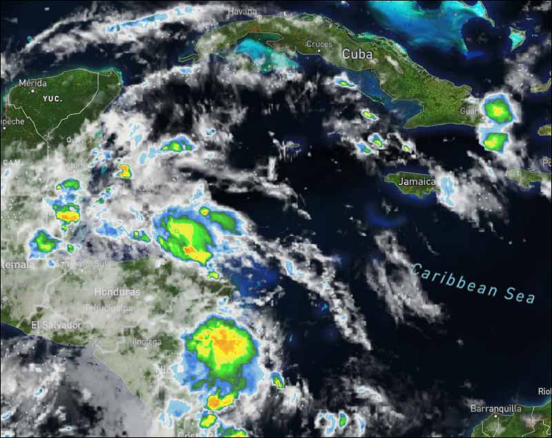
A hostile weather pattern over the tropical Atlantic, Caribbean Sea, and the Gulf of Mexico has kept any systems from developing this month. Flash-in-the-pan Tropical Storm Colin developed over the South Carolina coast in early July, but that system didn't originate out of the tropics.

A large outbreak of dust from the Sahara Desert in Africa has covered a good part of the tropical Atlantic for most of the month. The dry, dusty air about 8,000 feet up in the atmosphere hasn't allowed tropical systems to develop. Over the Caribbean, the upper-level winds have been hostile to any development. And by July, fronts rarely make it to the Gulf of Mexico, eliminating a factor that sometimes triggers a system to organize.

Even with a quiet July, we're still ahead of normal. On average, the third named storm doesn't form until August 3rd, so nothing unusual is going on.

Also another important factor has been in play, which has helped maintain a hostile weather pattern over the tropics. There's a broad pulse that slowly travels around the earth that alternatively supports and suppresses tropical activity. Its technical name is the MJO for Madden-Julian Oscillation. The supportive mode was over the eastern Pacific Ocean during July, and we ended up with three hurricanes.

At the same time, the suppressive mode was over the Atlantic, which contributed to the other factors keeping systems from developing.

Well, the MJO's supportive phase is forecast to drift over the Gulf, the Caribbean, and the tropical Atlantic over the next couple of weeks. It's not certain that this change will be enough to overcome the other hostile factors, including the massive plume of dusty air, but we'll watch the disturbances coming off Africa to see if there's a change.

On average, however, the heart of hurricane season doesn't ramp up until the middle of August. And it's especially rare to get a strong hurricane making landfall before August 15th.

In 2004, Hurricane Charley just snuck under the wire, making landfall on Friday the 13th. Hurricane Allen hit south Texas on August 10, 1980. But early-August landfalls by strong hurricanes are a rarity in the modern record book.

The whole set of factors required for tropical systems to generate, strengthen, and maintain their strength don't, on average, line up until mid-August. Not coincidentally, the average date for the first hurricane to form anywhere in the Atlantic, the Caribbean, or the Gulf is August 11th.

Enjoy the break. Past seasons also tell us that the amount of tropical development early in the season doesn't mean anything about developments in late August, September, and October.

Overall, the weather and ocean patterns still look generally conducive for a busy hurricane season, although the tropical Atlantic has cooled off. That tends to make systems develop more slowly as they move off Africa.

This cooling is likely due to the significant amount of Saharan dust that has been covering the topics, which blocks the sun to some degree. Normally the dust diminishes through the month of August.

For now, the key factors are lining up against any tropical development, so enjoy your weekend.

For further information on tropical conditions, check the daily Tropical Weather Outlook, click here

Joined: Oct 1999
Posts: 84,398
Marty Offline OP
OP Offline
Yet another sort of Caribbean front pushed over Belize and the Yucatan, clashing with higher air and resulting in swellups and rain in many places. Nearly two inches of rain last night and scattered rain all over the northern areas presently.

Looks as if today will remain cloudy for much of the day, particularly in northern areas, a small swellup developing just off PK right now.

Last Night 23 °C 74 °F Yesterday max. 31 °C 87 °F Yesterday Rain 43 mm ( 1.7 " ) Over Night Rain 3.0 mm ( 0.1 " )

B643F7C8-2C79-4051-B575-1E43448071B3.png C6B1205C-5D06-4015-A798-00A2A79BC14D.png
Joined: Oct 1999
Posts: 84,398
Marty Offline OP
OP Offline
Present Condition: Cloudy, windy and rainy over most of the country, especially in the north, including San Pedro. Moist and unstable conditions continue. A small craft caution remains in effect for gusty winds and rough seas near heavy showers and thunderstorms.

24hr Forecast: Generally cloudy to overcast skies with a few showers and thunderstorms occurring around the country this afternoon and tonight but especially over northern and central areas, then a slight increase over southern areas is expected for tonight as well. Activity will become generally isolated by tomorrow morning except for a few more lingering over the northern districts.

Outlook: Isolated showers and thunderstorms expected, except for slightly more developing over inland areas Sunday afternoon and then over the north on Monday morning.

[Linked Image]

[Linked Image]

Joined: Oct 1999
Posts: 84,398
Marty Offline OP
OP Offline
Happy Saturday... Photo by San Pedro FM

[Linked Image]


Link Copied to Clipboard
April
S M T W T F S
1 2 3 4 5 6
7 8 9 10 11 12 13
14 15 16 17 18 19 20
21 22 23 24 25 26 27
28 29 30
Cayo Espanto
Click for Cayo Espanto, and have your own private island
More Links
Click for exciting and adventurous tours of Belize with Katie Valk!
Who's Online Now
1 members (JayinOhio), 128 guests, and 0 robots.
Key: Admin, Global Mod, Mod
Forum Statistics
Forums44
Topics79,204
Posts500,029
Members20,468
Most Online7,413
Nov 7th, 2021


AmbergrisCaye.com CayeCaulker.org HELP! Visitor Center Goods & Services San Pedro Town
BelizeSearch.com Message Board Lodging Diving Fishing Things to Do History
BelizeNews.com Maps Phonebook Belize Business Directory
BelizeCards.com Picture of the Day

The opinions and views expressed on this board are the subjective opinions of Ambergris Caye Message Board members
and not of the Ambergris Caye Message Board its affiliates, or its employees.

Powered by UBB.threads™ PHP Forum Software 7.7.5