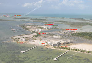
Aerial photos of the coast of Ambergris Caye
These were taken about 2005. Click on the link(s) below to go to each section.:
From the Bridge heading North.
West Side, across the lagoon from San Pedro Town
San Pedro Town Core: The Bridge to Ramons Village
From Ramon's Village south to Club Caribbean...the Southern part of Ambergris Caye
<
Back to Maps
Commons
Island
Community
History
Visitor Center
Goods & Services
Belize Search
Messages
Belize News