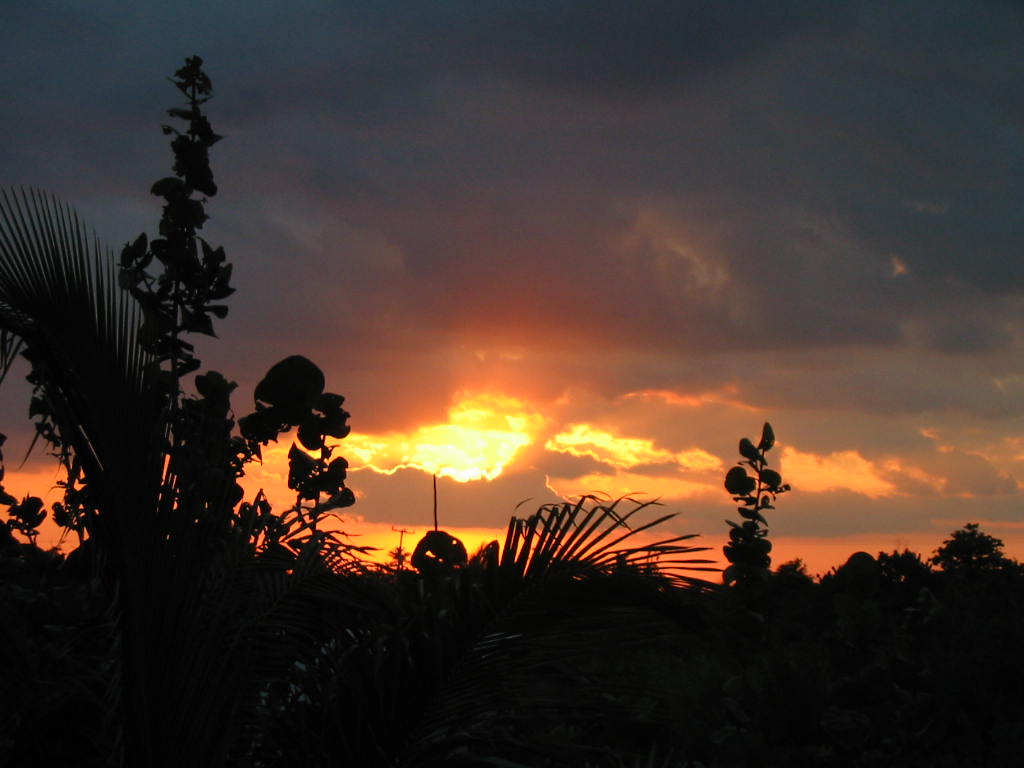
From Belmopan...
What cold front? Temperature last night was almost the same as the last few nights. That was not a cold front, but certainly some form of different or conflicting air masses. What is more, the very, very fast progress of that rain front last night was much faster than any of the air movement. I think it can best be described as a bit like sailing. where the two forces are at an angle to each other, the resultant pinching effect, like squeezing a pip between the fingers, shoots out fast. I saw that line of rain starting up north of the Yucatan around 5 - 6 pm, but had not realised that it would be crossing Belize in just 2 hours, that was fast. That meant the rain line moved down at about 180 mph.
I got 30mm ( 13/4") or rain last night. The radar is not showing any rain on Belize now, just the odd shower over the sea.
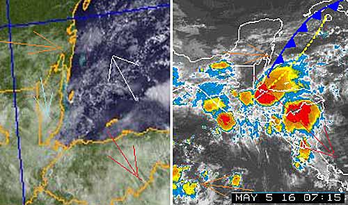
All a bit of a jumble right now. The actual surface air flow over Belize is very slow, some from the west, some from the north but very light ( Light Blue arrow ) The Caribbean wind last night appeared to be going up almost towards the north. The high level from Mexico is still from the WNW But that storm line moved from the NNW very fast (Red arrow) Looks as if this morning will be calm but overcast, perhaps sun this afternoon. Does not look like more rain.
Temperatures in Belmopan:
Today is probably going to be Similar, to yesterday :
Wed, max. 37°C 98°F Last night min. 26°C 78°F ( Coast usually cooler, hills even cooler )
Belmopan:
https://www.wunderground.com/personal-weather-station/dashboard?ID=MD1029#history
Caye Caulker:
https://www.wunderground.com/personal-weather-station/dashboard?ID=IBELIZED2#history


![[Linked Image]](http://ambergriscaye.com/forum/uploads/files/usergals/2016/05/full-9930-1871-emay5th900px.jpg)