General Situation:
Ambergris Caye: Conditions this morning by Elbert just before or after this post!
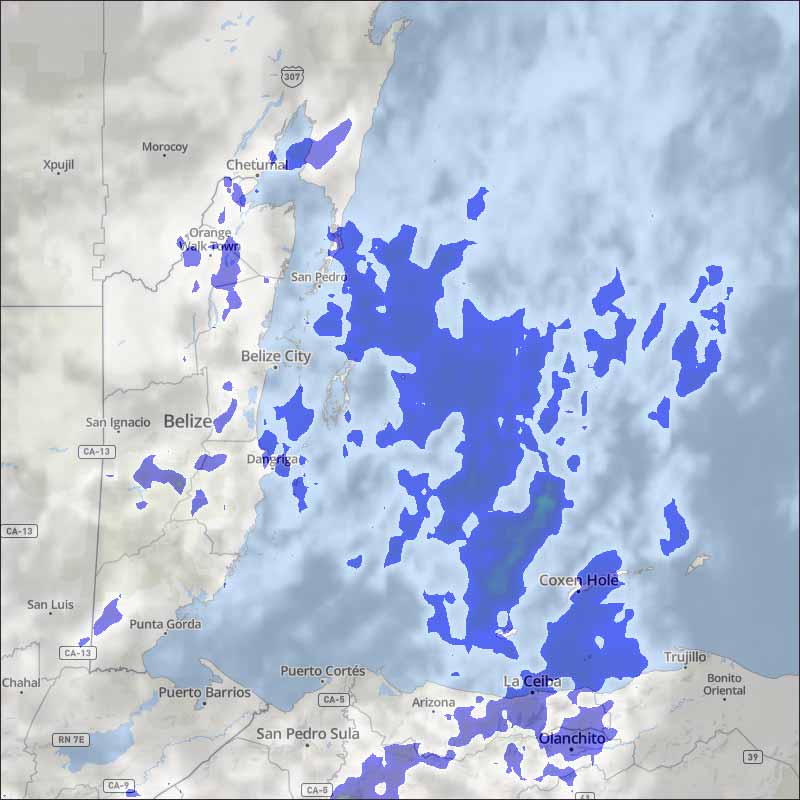
Belize NMS:
Present Condition: Mostly cloudy this morning. Weather conditions will become less moist and unstable over our area.
Advisories: *A flood watch is in effect for low lying and flood prone areas and communities along rivers and streams.*
24-hour forecast:
Sunny skies with some cloudy spells today and partly cloudy skies tonight. Showers will be isolated along with the chance of an isolated thunderstorm developing.
Winds: Null, 0 kts Sea State: Slight-Light Chop Waves: 2-4 ft
Sea Surface Temperature (°f): 86
Sargassum Forecast:
Latest observations show that a few sargassum mats continue to drift into the area. This is expected to continue during the next few days with moderate impacts on local beaches.
Outlook:
For Monday and Monday night is for mainly fair and warm conditions with only isolated showers or thunderstorms developing.
Tropical Weather Outlook:
At 9:00pm last night the center of Tropical Storm Cristobal was located near 26.2N latitude, 90.2W longitude or about 210mls SSW of the mouth of the Mississippi River.
Click for more...
Marine Conditions:
The Caribbean Sea
The line of thunderstorms that had been in the far SW Caribbean
overnight has moved inland over central America. A 1012 mb low
pressure is located near 10N80W. Scattered thunderstorms are just
off the coast of Costa Rica. Fresh trades continue over much of
the central and western Caribbean. Seas range 6 to 8 ft across
most of the basin.
Fresh SE winds and seas around 8 ft in the Yucatan
Channel will continue to diminish this morning as Tropical Storm
Cristobal moves farther from the area. With weak high pressure
centered north of the area, trade winds will dominate the
Carribbean this week. Fresh SE winds in the Gulf of Honduras will
pulse to strong Mon and Tue nights. Fresh winds will also prevail
off the coasts of Colombia and western Venezuela early this week,
with moderate easterly winds elsewhere.
On Ambergris Caye this morning the bad weather seems to have past and the sea is calm around our barrier reef. The Southwest breeze is almost nil and we have blue sky. Today's expected high temperature is 87 f.
The storm has moved on, it hovered in the Gulf for much of yesterday, but again, at night, moved rapidly northwards, is now on the outskirts of New Orleans with a lot of rain, but the main rain has gone to north Florida. The Caribbean winds starting up again, and we have some high level cloud from the SW
Looks as if today will be mainly sunny, some clouds will develop, only a small chance of any rain.
Temperatures in Belmopan : ( Coast usually cooler, hills even cooler ) Last night min. 26°C 79°F Yesterday max. 33°C 92°F Yesterday Rain 0 mm ( 0")
Present Condition: Mostly clear and hot. 24hr Forecast: Sunny during the daytime and partly cloudy tonight. Showers will be isolated along with the chance of an isolated thunderstorm inland.
The opinions and views expressed on this board are the subjective opinions of Ambergris Caye Message Board members and not of the Ambergris Caye Message Board its affiliates, or its employees.


 General Situation:


![[Linked Image]](http://Ambergriscaye.com/art8/belmopanwx200607.jpg)
![[Linked Image]](http://Ambergriscaye.com/art8/dailywx200607b.jpg)
![[Linked Image]](http://Ambergriscaye.com/art8/102891945_3567906936588024_6895023145663385211_o.jpg)


