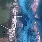
Aerial Views of the resorts and landmarks on Northern Ambergris Caye to Xcalac
Click maps for larger versions
The pictures from Google Maps / Earth have been updated from Las Terrazas all the way to Mexico.
I think the pictures were taken in 2010 before Hurricane Richard, in the morning between 9 and 11am.
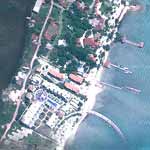
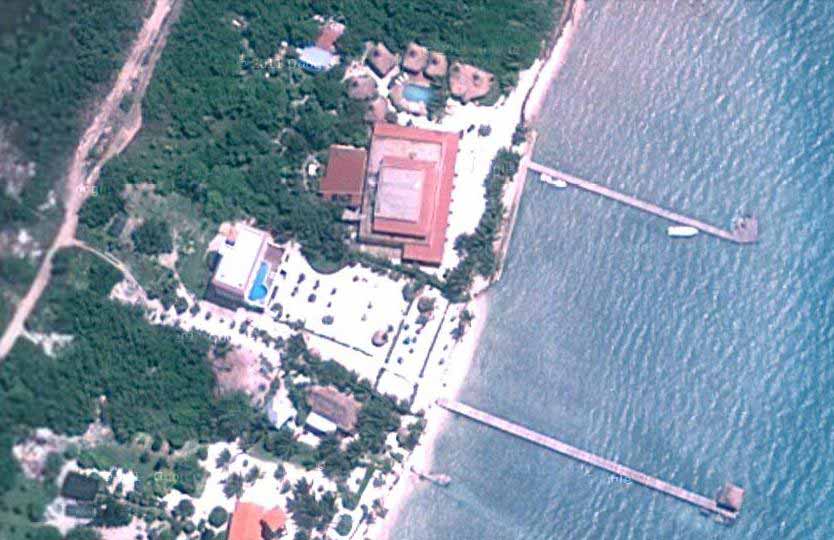
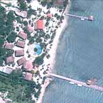
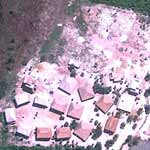
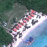
Mile 3.78
Las Terrazas, Solaria, Rendezvous, Journey's End |
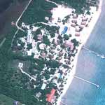
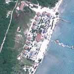
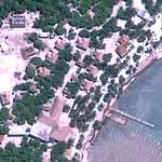
Mile 5.11
Rojo Lounge and Mata Chica |
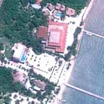
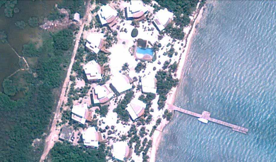
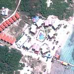
Mile 5.57
Villa Aurora and Xaman Ek |
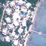
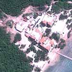
Mile 5.71
La Perla |
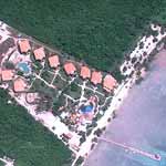
Mile 6.01
Portofino |
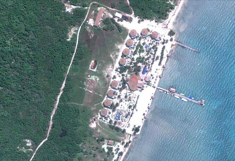
Mile 6.67
Costa Maya |
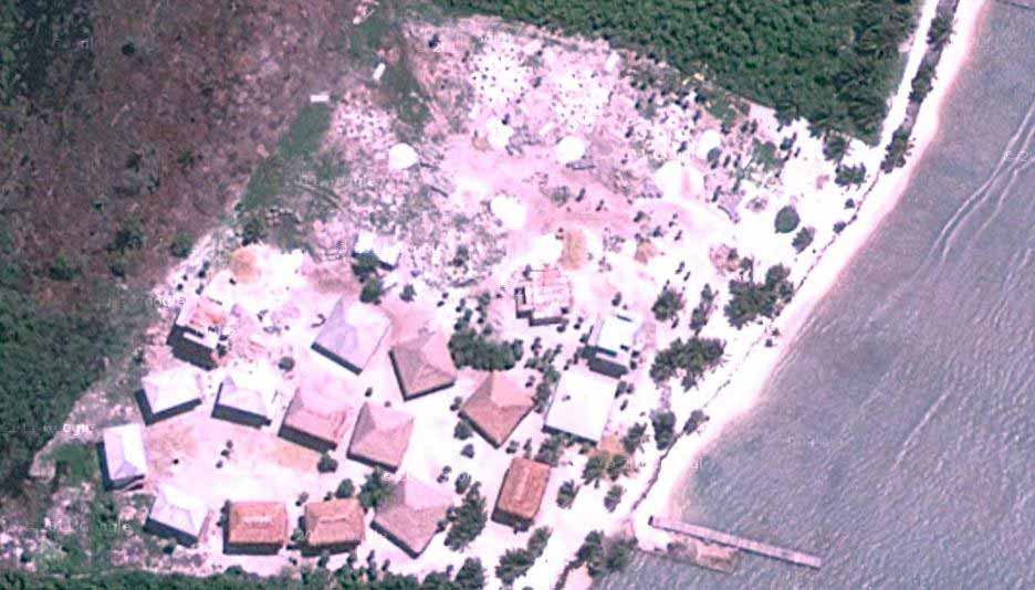
Mile 7.17
Legacy |
Mile 8.11
Blue Reef |
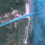
Mile 9.11
Sapphire |
Mile 10.6
Secreto |
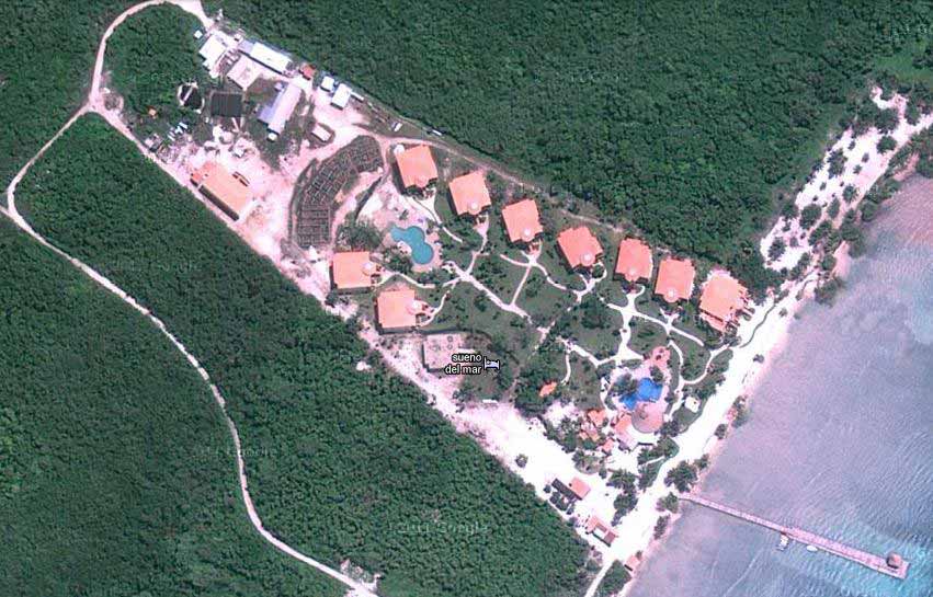
Mile 12.9
Sueno del Mar |
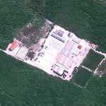
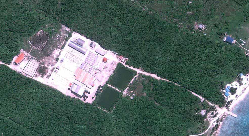
Mile 13.3
Shrimp Farm |
Mile 13.4
Tranquility |
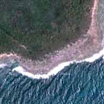
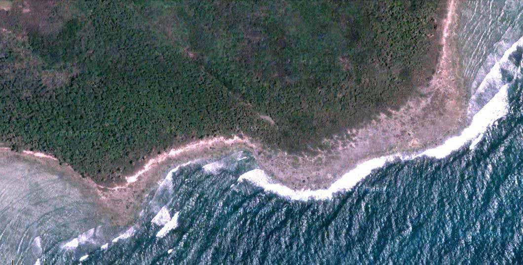
Mile 16.2
Rocky Point |
Mile 19.8
Mexican Border |
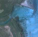
Mile 21.5
Channel before Xcalac |
Mile 25.6
Xcalac |
|
|
|
Click here to return to the main maps pageFor general information on Belize, click here.
For general information on San Pedro and Ambergris Caye, click here.
For geologic information and maps on San Pedro and Ambergris Caye, click here and here.
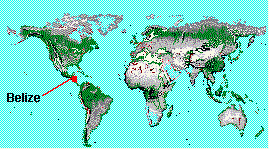 |
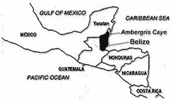
Maps of Belize and Ambergris Caye
|
 |
|