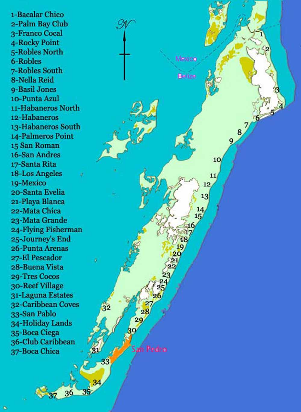
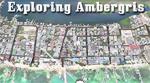
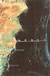
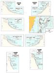
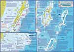
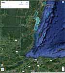
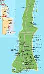
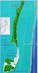
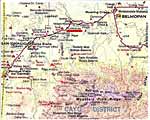
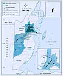
Maps of San Pedro and Ambergris Caye Top of page 
Click maps for larger versions

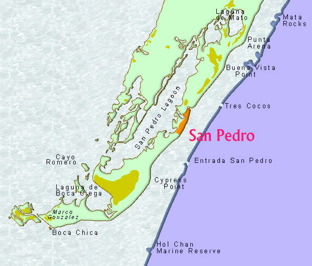
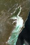
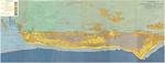
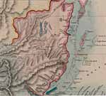
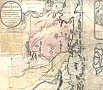
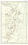
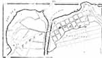
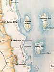
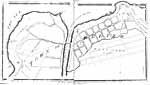
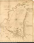
Area of island around San Pedro |
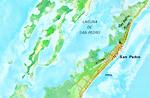
Area of island around San Pedro |
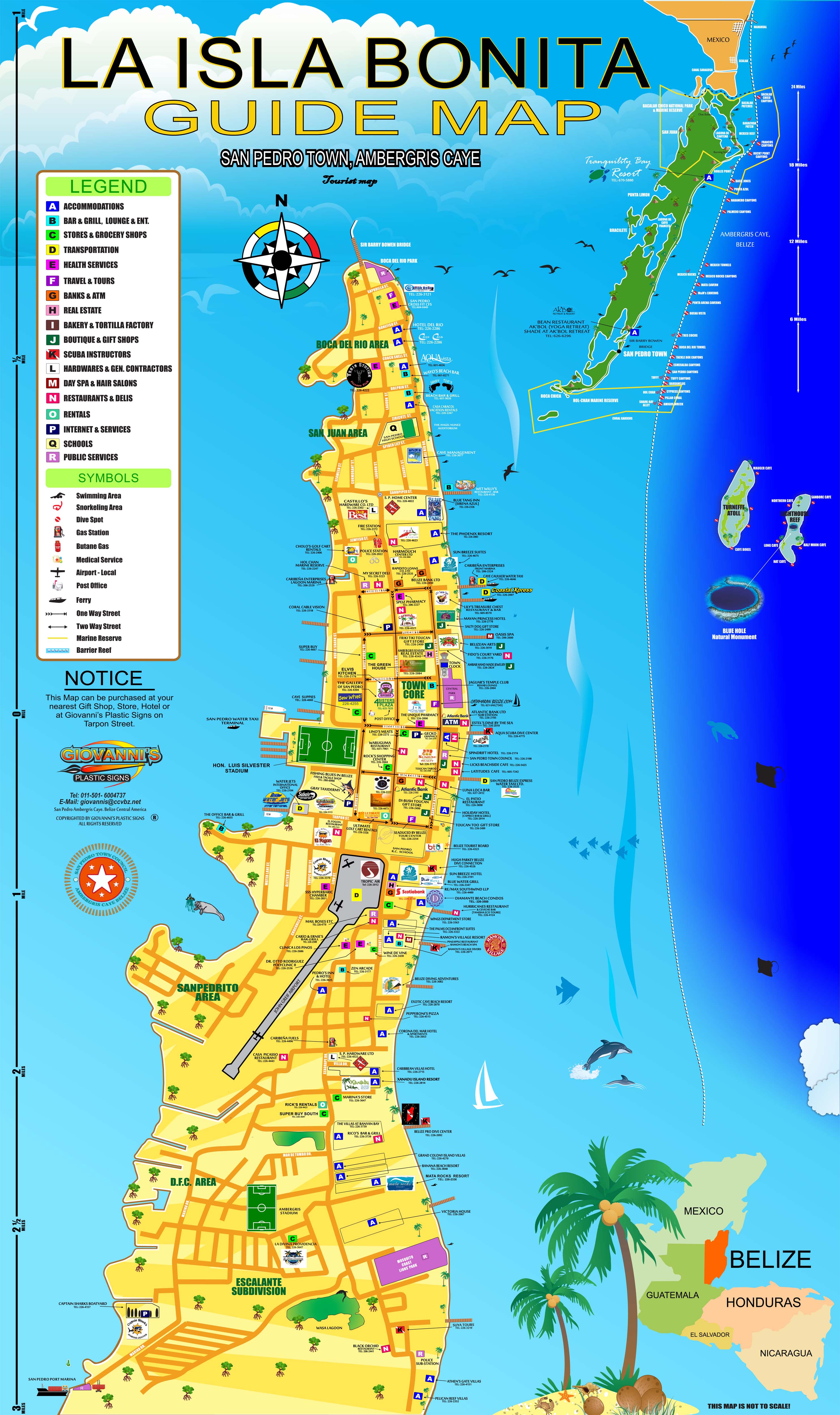
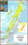
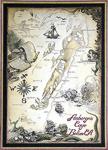
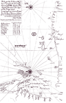
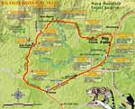
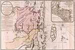
Giovanni's Awesome Map
of San Pedro
pdf - jpg
|
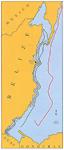
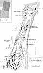
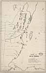
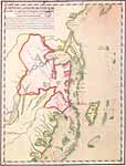
Detailed map of San Pedro
Click here for printable version |
LARGE map of the island
with areas marked |
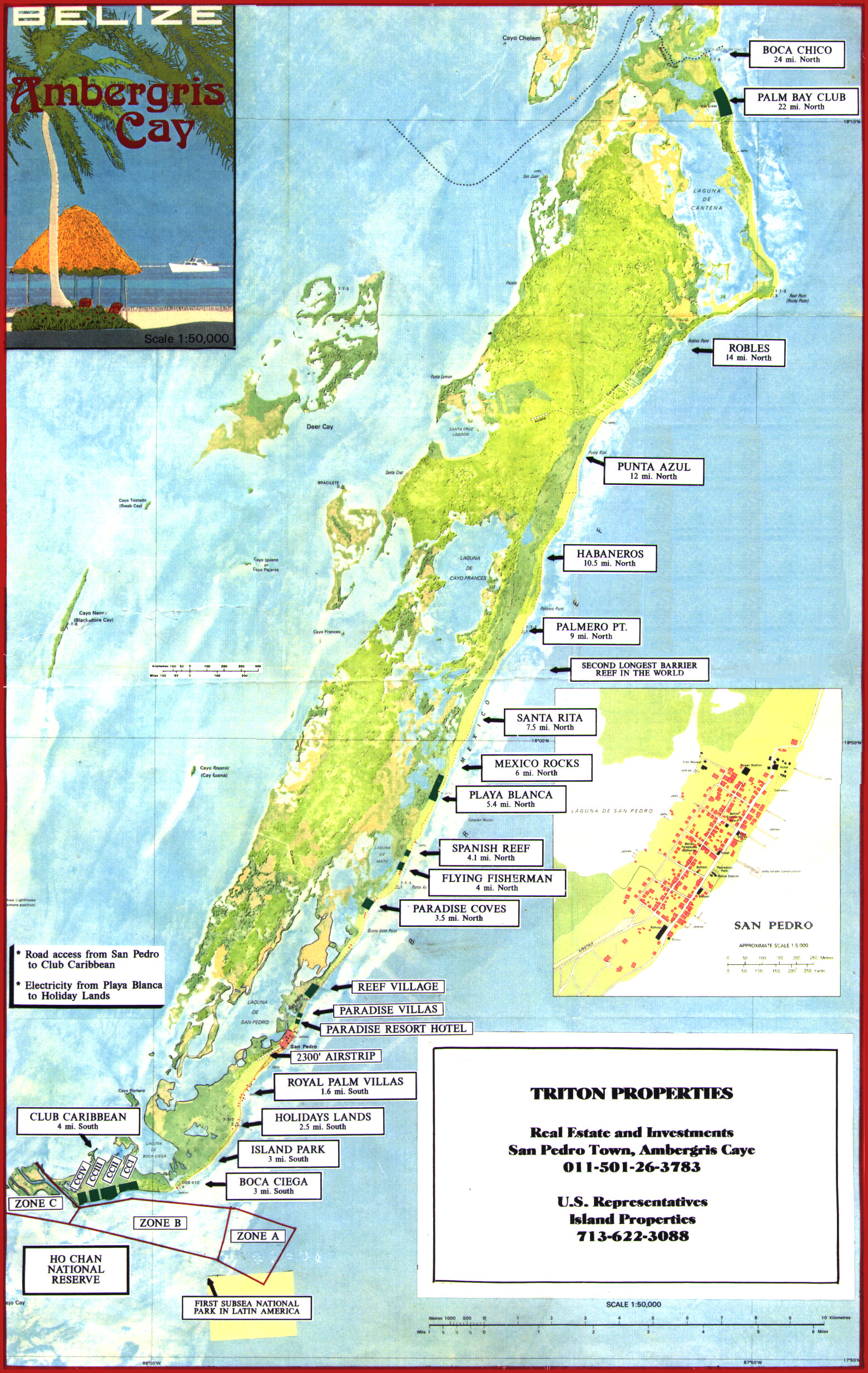
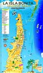
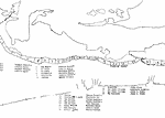
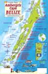
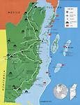
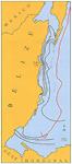
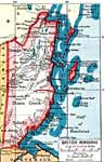
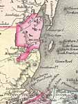
Ambergris Caye |
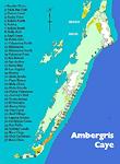
Locations of businesses on
Ambergris Caye downtown
Click here for a map with clickable locations |
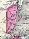
Locations of businesses on
Ambergris Caye north and
south of downtown |
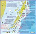
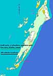
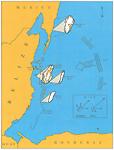
Dive sites around
Ambergris Caye |
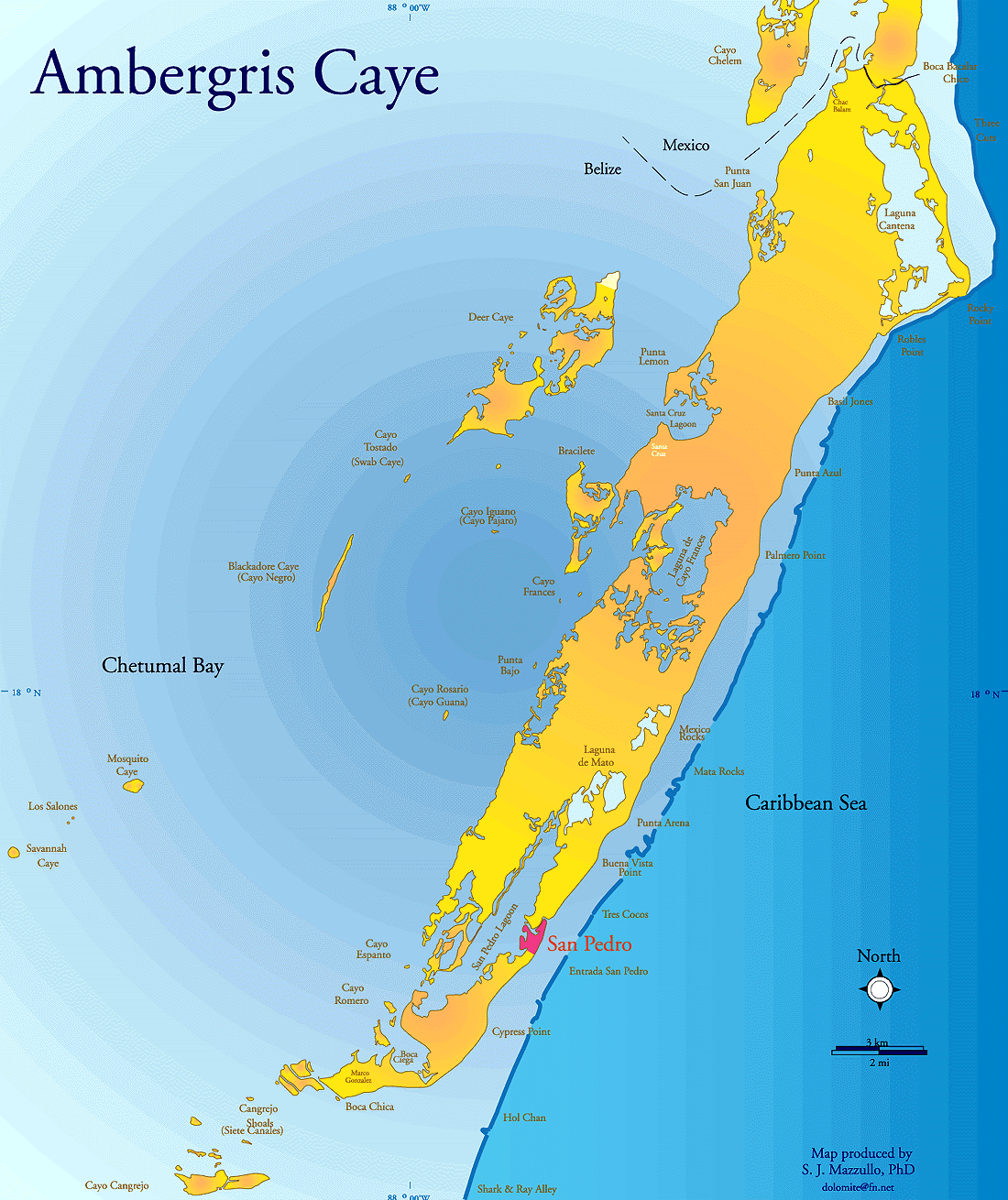
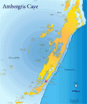
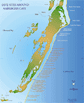
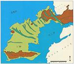
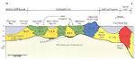
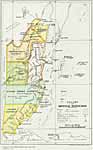
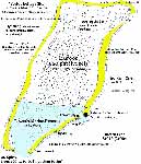
General areas of
Ambergris Caye labeled |
WikiMapia, detailed with lots of locations labelled
|
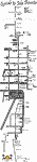
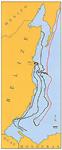
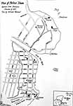
Detailed map of San Pedro |
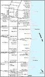
Ambergris Caye locations
Click here for printable version |
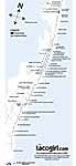
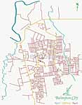
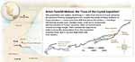
Tacogirl's Map of San Pedro
pdf - jpg |
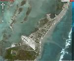
Aerial photos of the entire island in small sections, landmarks and resorts are listed |
2010 updated aerial views of the resorts and landmarks on Northern Ambergris Caye to Xcalac |
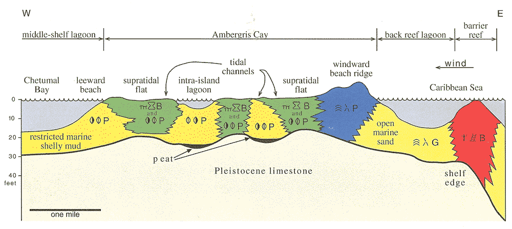
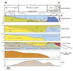
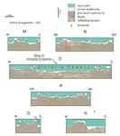
Idealized cross-section
through Pleistocene facies |
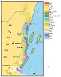
Carbonate facies map
of Pleistocene outcrops |
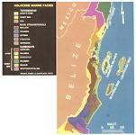
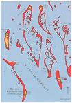
Holocene facies map of
tidal bar belt north
of Congrejo Caye |
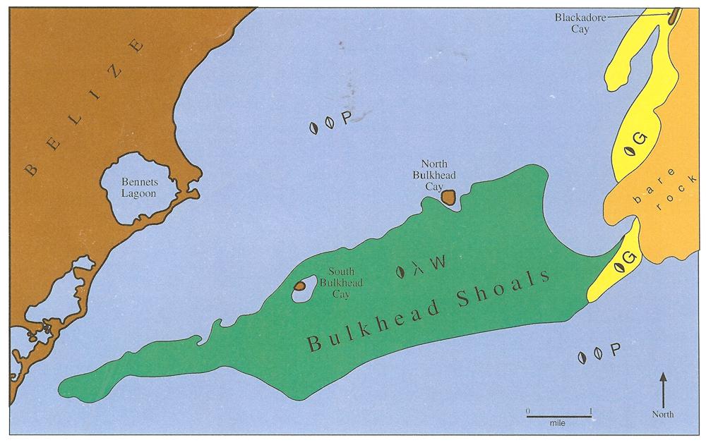
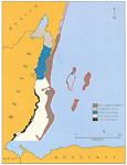
Holocene facies map
of Bulkhead Shoals |
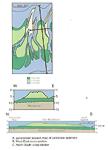
Bulkhead Shoals |
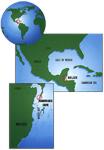
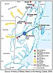
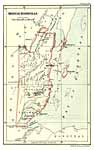
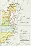
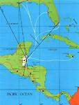
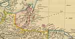
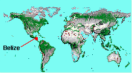
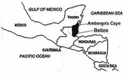
In relation to to the southern
part of the US |
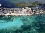
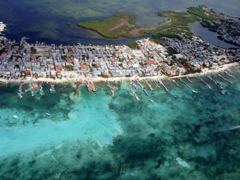
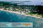
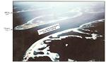
Aerial view downtown, 2007 |
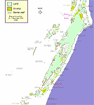
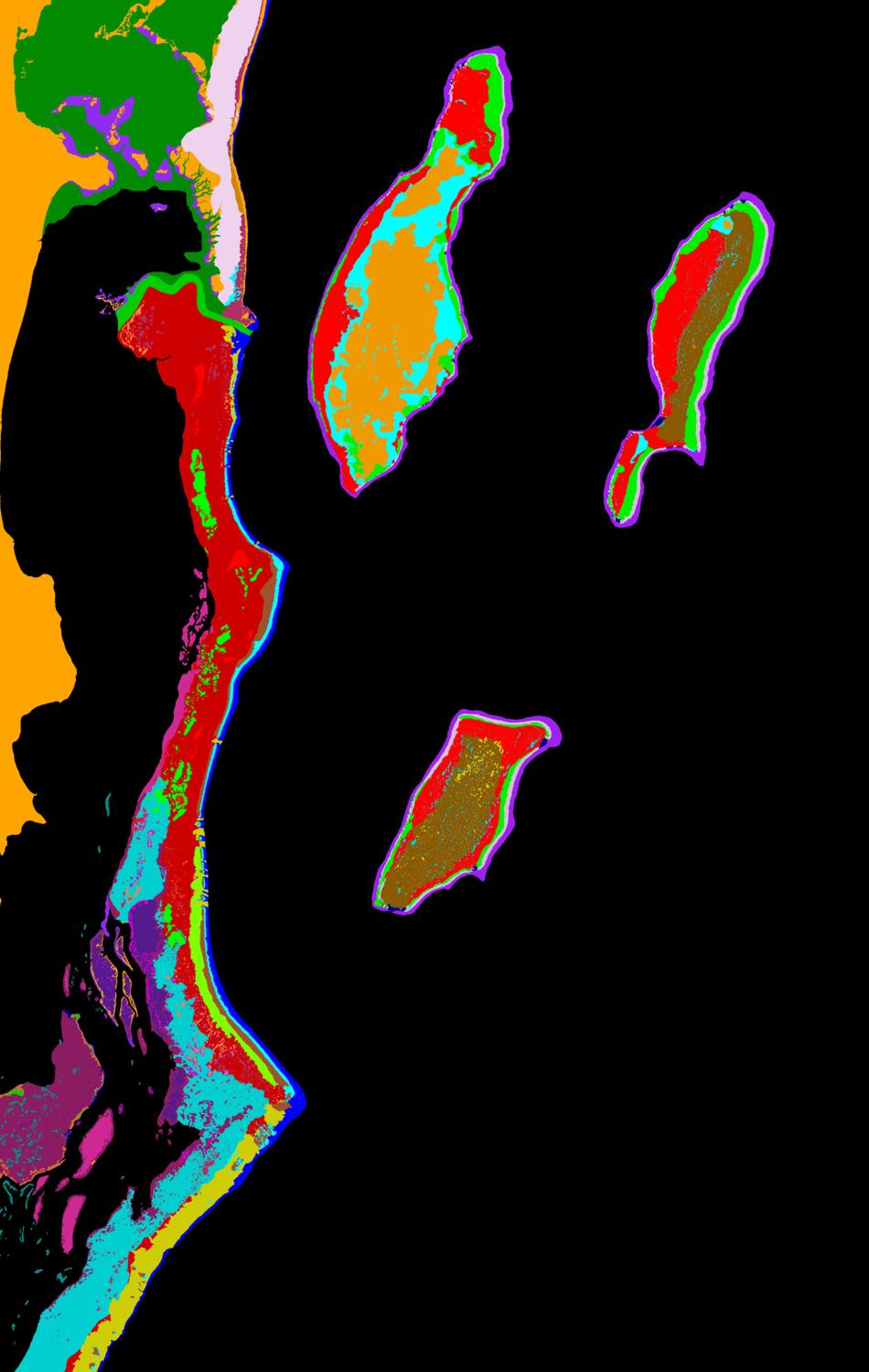
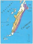
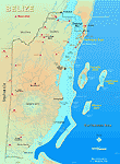
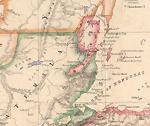
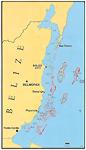
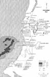
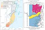
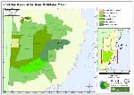
Ambergris Caye
islands and land types |
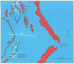
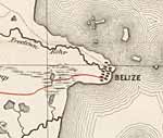
Bay of Chetumal |
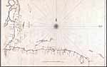
Ambergris Caye Nautical Chart
by Savanna |
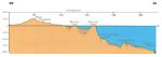
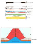
Cross view of island |
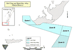
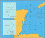
Hol Chan Marine Reserve Zones A, B, C, D |
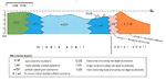
Depositional environments |
Original land grants from
Maria Exaltacion Andrade
and the families who received them |
Facies profile of
Holocene sediments |
Aerial view of the runway at John Grief II airport in San Pedro |
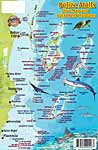
Ambergris Caye Dive Map |
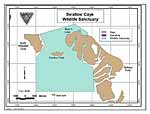
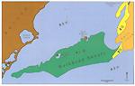
Swallow Caye Wildlife Sanctuary |
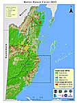
Ambergris Caye Protected Areas |
Ambergris Caye Dive Map and Reef Creatures Identification Guide |
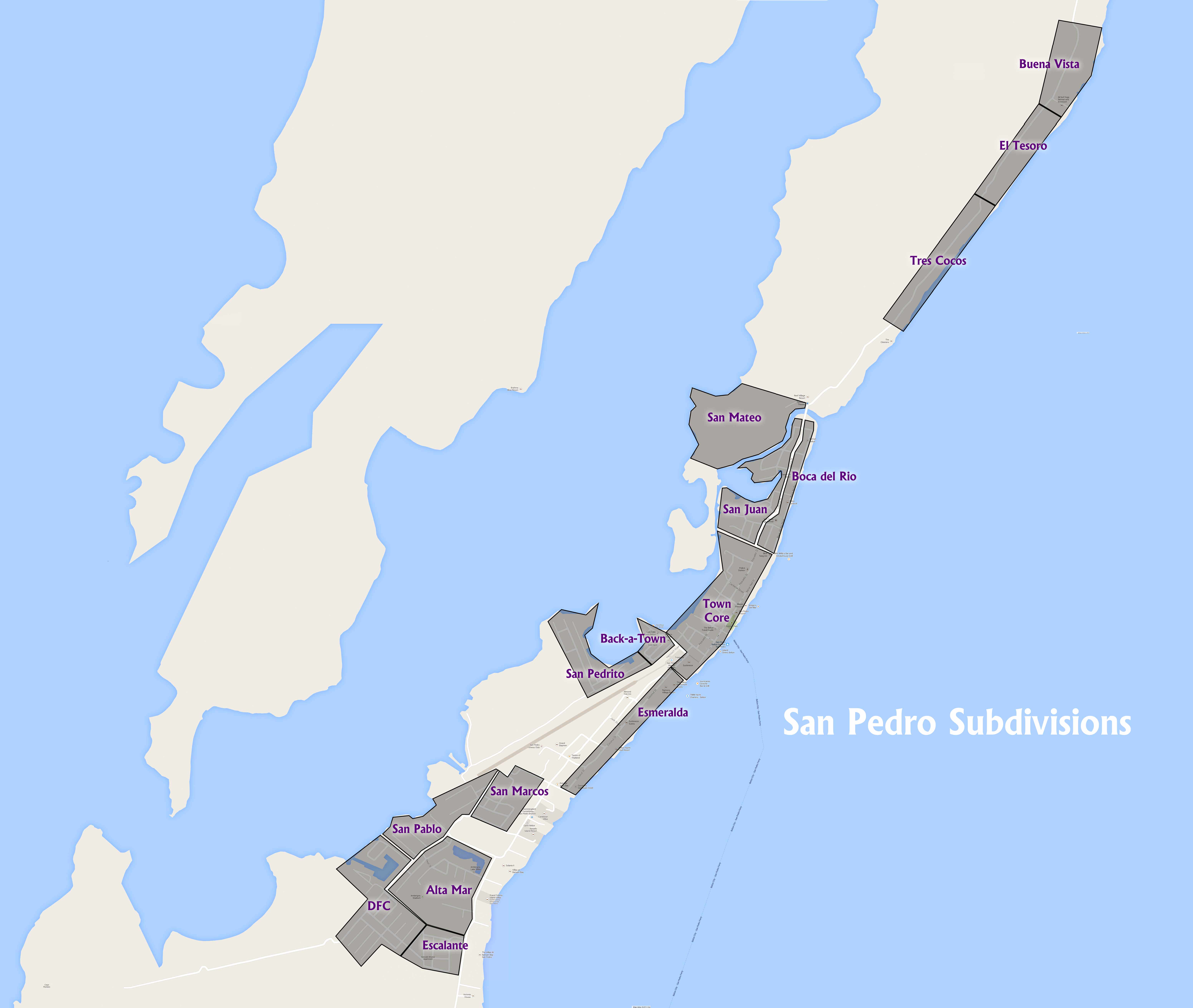
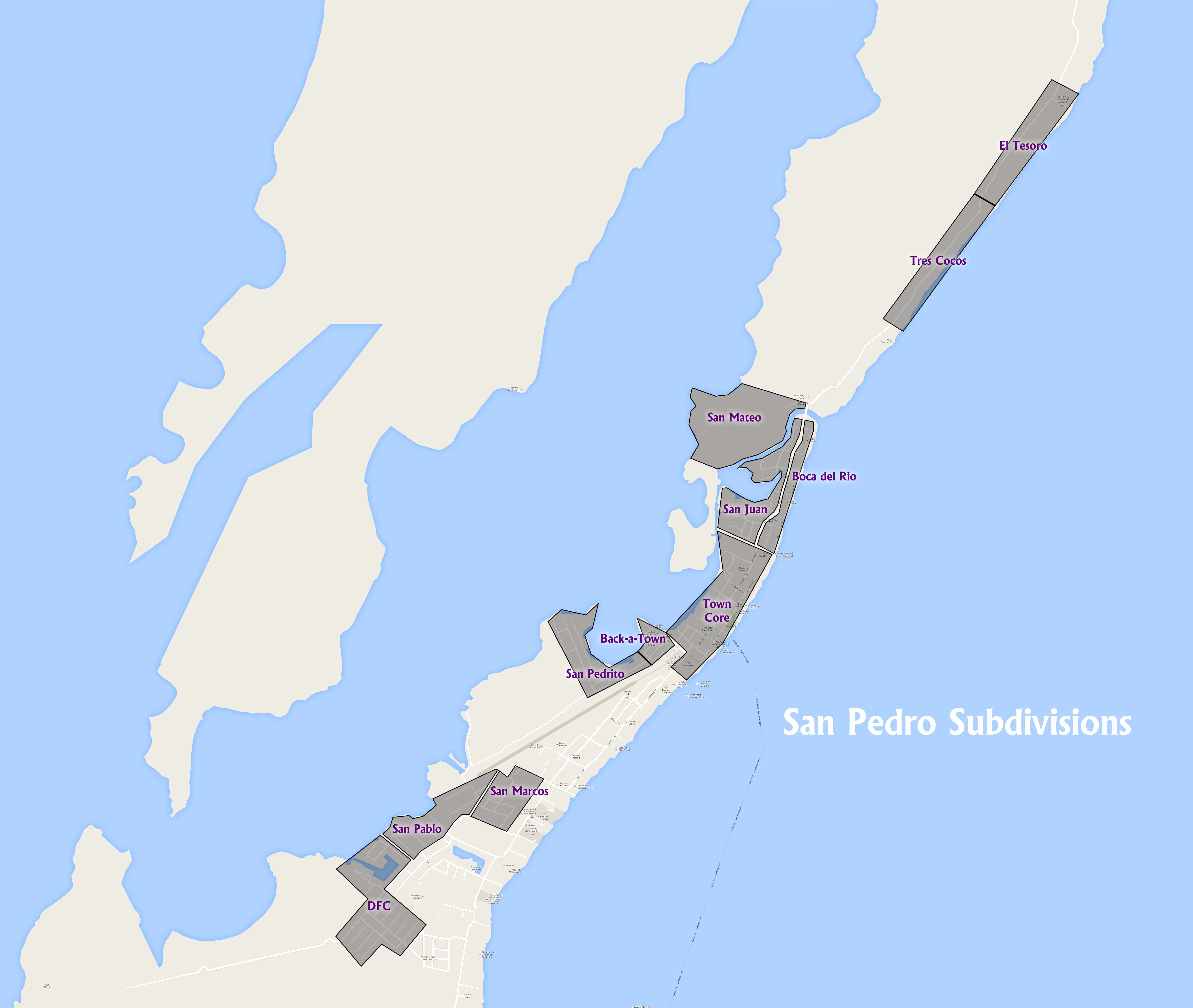
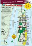
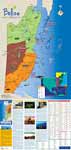
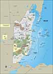
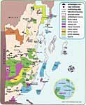
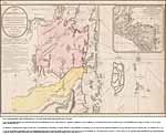
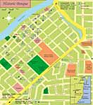
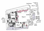
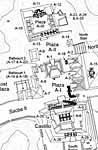
San Pedro, some resorts and businesses marked plus subdivisions |
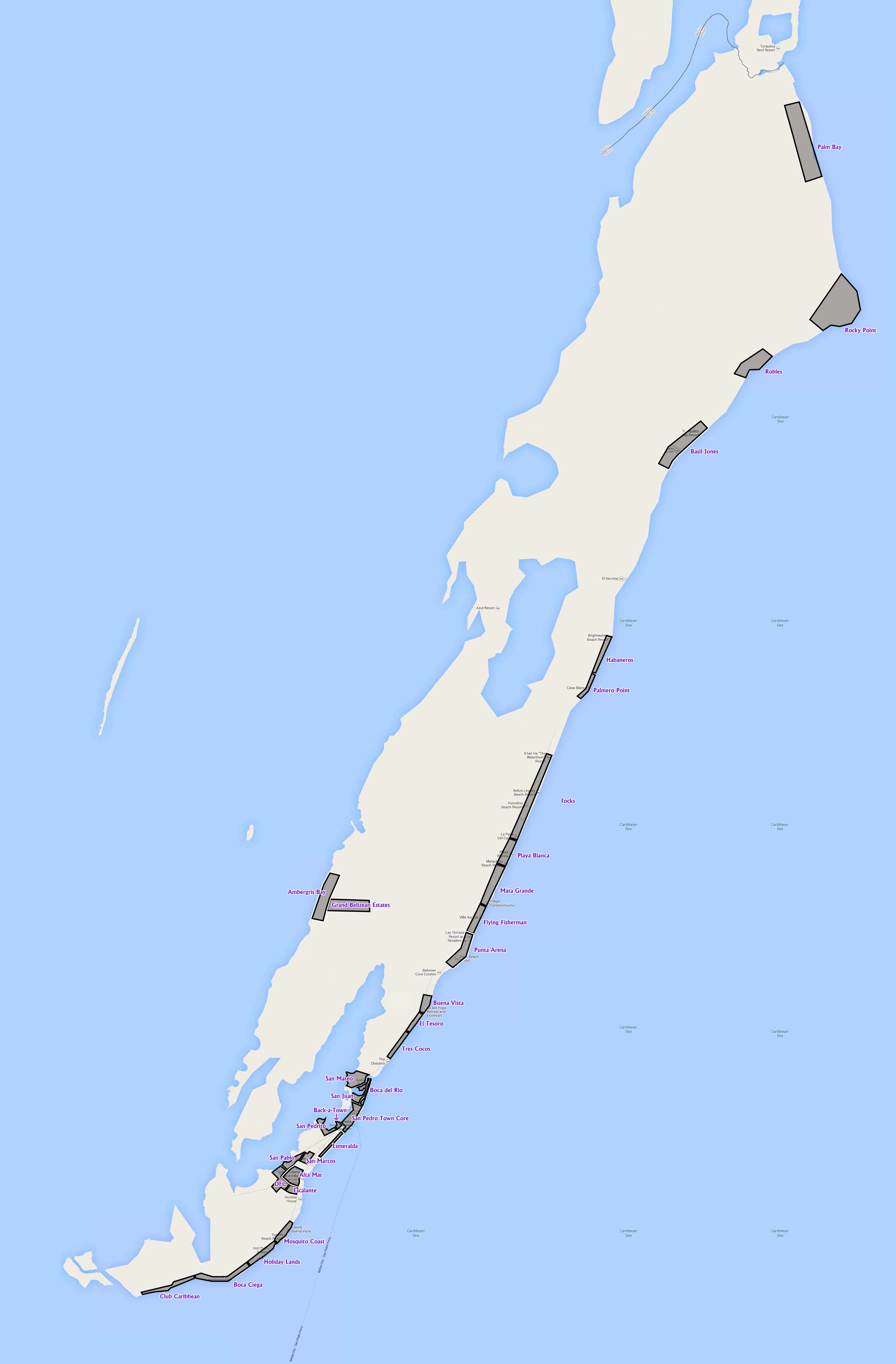
Ambergris Caye, some resorts and businesses marked plus subdivisions |
Same as the map to the left, but interactive on Google Maps |
Coastal Xpress Ferry Stops |
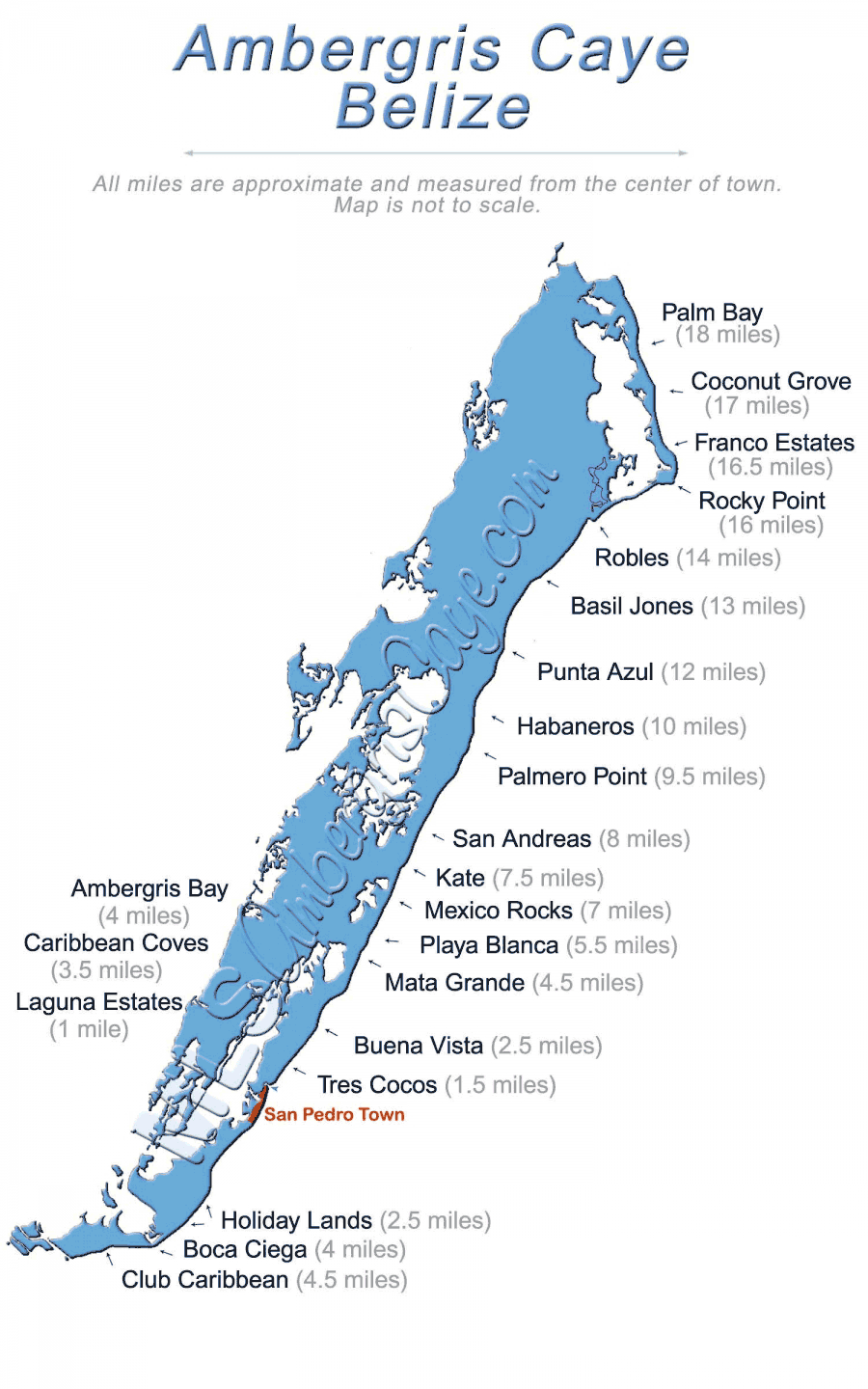
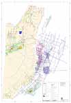
Real estate area map |
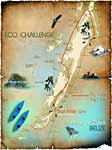
Lagoon Reef Eco-challenge map |
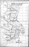
1950's San Pedro, Aerial photo, locations marked |
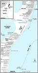
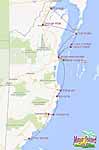
Resorts, North Ambergris Caye |
Roads & Cart/bicycle paths on Ambergris Caye |
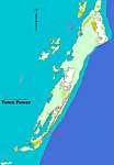
Electric power on Ambergris Caye |
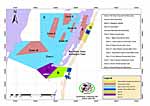
Hol Chan Marine Reserve Expansion |
|
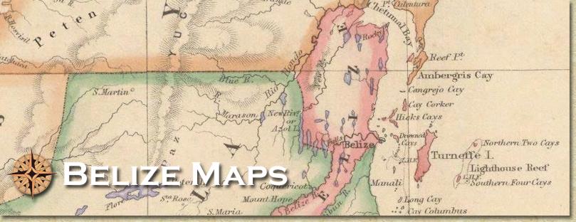
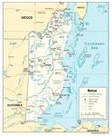
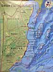
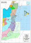
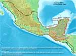
Maps of Belize Top of page
Click maps for larger versions
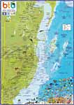
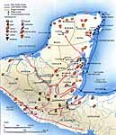
Excellent Belize Map
Extra large |
Very detailed |
Waterways in Belize |
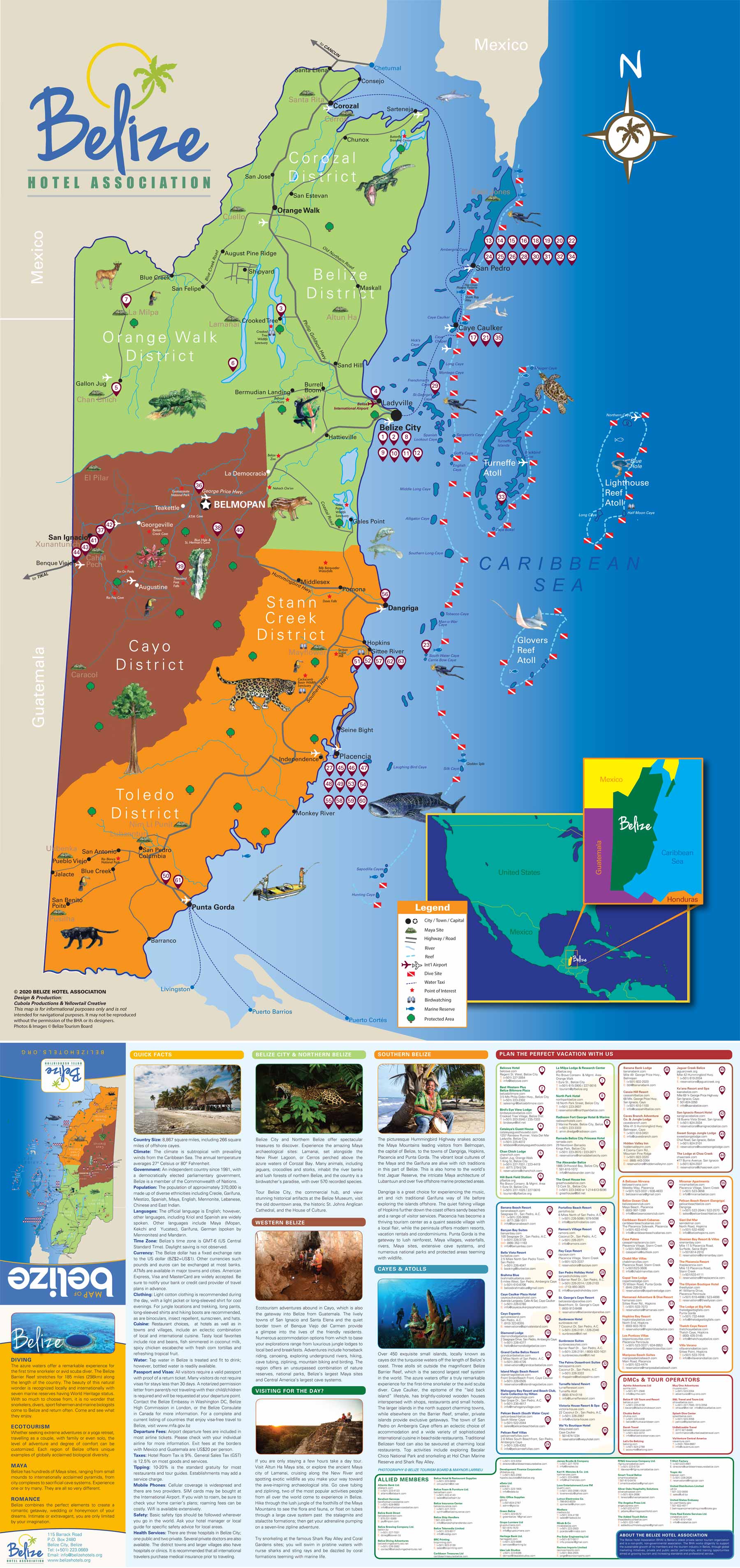
Belize Hotel Association Physical Map with many geographical features and hotels listed
PDF (5mb BHA trade show brochure) |
Maya ruins and
scuba diving sites |

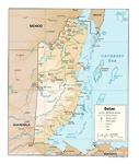
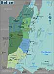
Detailed Belize map |
View from satellite |
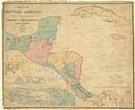
Belize |
Localities, maya
sites, and highways |
Belize Hotel Association Map of Belize, updated 2021 |
Belize |
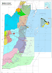
Electoral divisions |

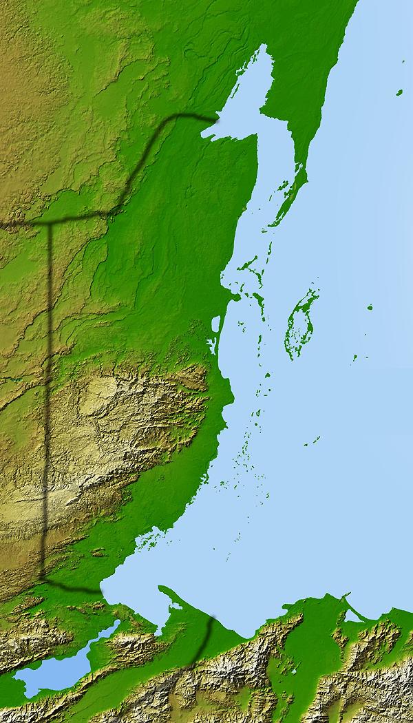
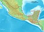
Terrain, from satellite |
Physical map |
Highways |
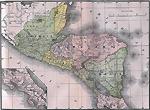
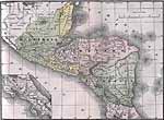
Great map of Belize |
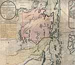
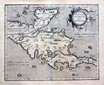
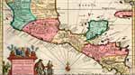
Early 1700's |

1786 |
1800's |
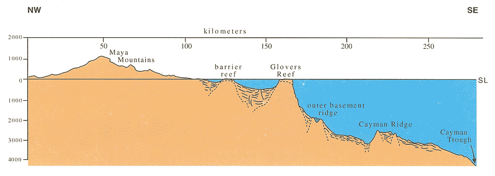
Bathymetry off Belize,
Cayman Ridge is Ridge #5
contours in meters |
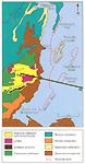
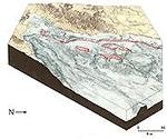
Generalized geological map,
showing the distribution
of modern reefs in red |
Regional cross-section across
the Belize continental margin |
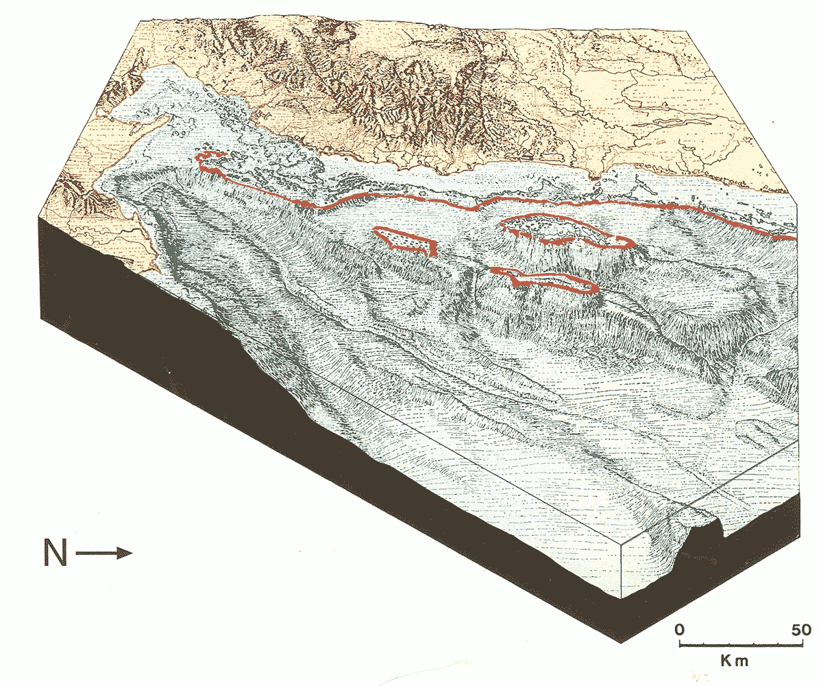
Block diagram showing
bathymetric relief surrounding
the reef-rimmed atolls
and shelf off Belize |
Cross section of island
and reef environment |
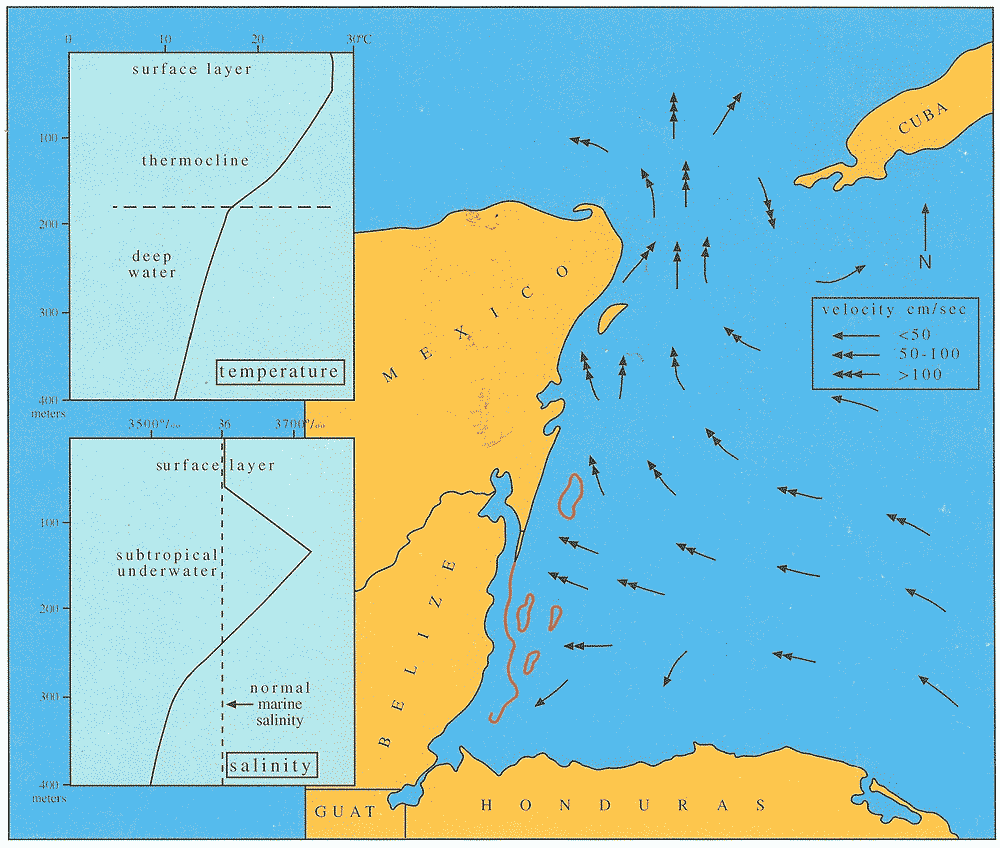
Main surface-water flow
across the Belize Shelf |
Wave energies and reefs
off Belize |
Surface-water salinities
on the Belize Shelf |
Bottom-water salinities
on the Belize Shelf |
Percent carbonate in
Belize Shelf sediments |
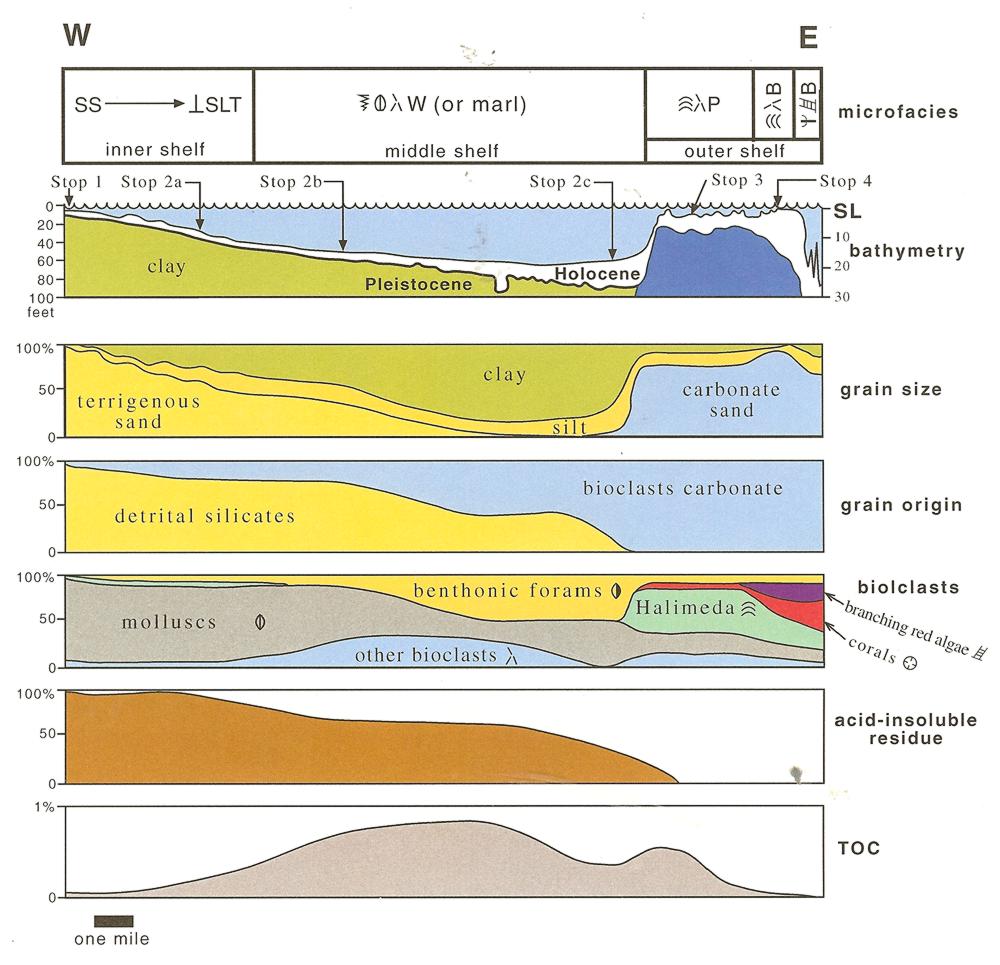
Facies map of Holocene
sediments on the Belize Shelf |
Facies map of Holocene
sediments on the Belize Shelf,
based on over 800
bottom samples |
Mollusc communities on
the Belize Shelf |
Elevation of the top of the
Pleistocene, as determined from
several boreholes across Belize |
LANDSAT image showing
reef patterns and field stops on
the southern shelf of Belize |
Spectrum of coastal deltas
along the Belize coast |
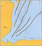
the Southern Shelf Traverse |
Bathymetric/sparker profiles
on the southern shelf of Belize |
Bathymetric/sparker profiles
on the southern shelf of Belize |
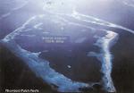
Sediment distribution over
Boo Bee Patch Reef, a typical
amoeboid reef on the
southern Belize Shelf |
Amoeboid, ribbon, and
rhomboid reefs on
the Southern Shelf |
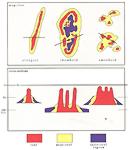
Depositional facies patterns
associated with three types of
middle-shelf patch reefs living on
the modern Belize Shelf |
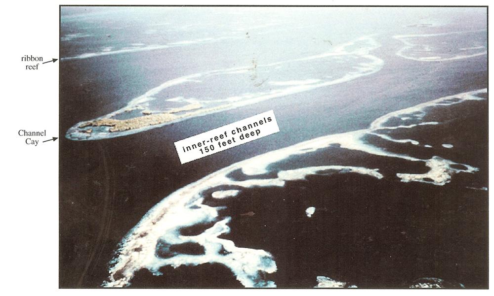
Air photo of ribbon and
rhomboid reefs on the
Southern Shelf of Belize |
Air photo of rhomboid reefs
on the Southern shelf |
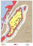
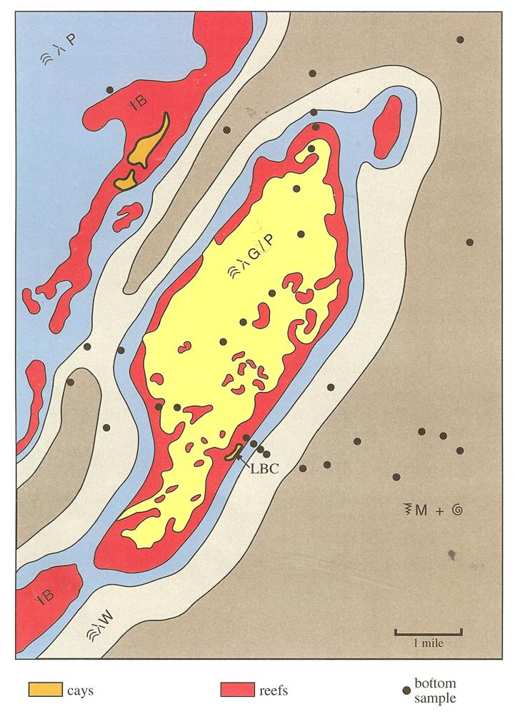
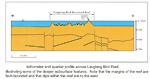
Facies map of Holocene
sediments at Laughing
Bird Cay, a rhomboid reef |
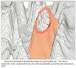
Bathymetric perspective showing
the shape of Laughing Bird reef |
Fathometer and sparker profile
across Laughing Bird Reef |
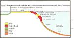
Facies map of Holocene sediments
of the Belize Barrier Reef and its
skeletal sand apron, reef facies
appear in red and near-reef
sands in yellow |
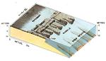
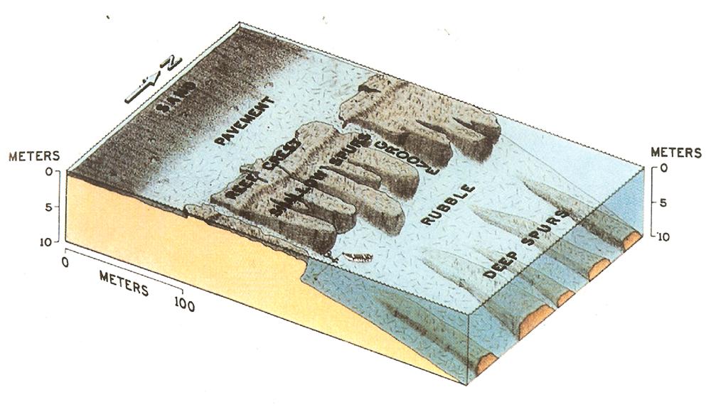
Block diagram of the Belize
Barrier Reef, with its
spur-and-groove structures |
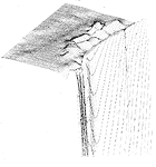
Bathymetric perspective of
"The Wall" in front of
the Belize Barrier Reef |
Dive sites, examining slope
facies in front of the
Belize Barrier Reef
Glover's Reef, Tobacco Caye,
Southwater Caye, Buttonwood
Caye, Queen Cayes |
Mundo Maya
by Savanna |
Hurricane Tracking Map |
Belize watersheds |
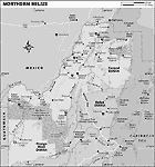
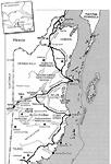
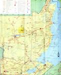
Northern Belize |
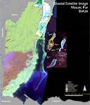
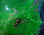
Coastal Satellite Image Mosaic |
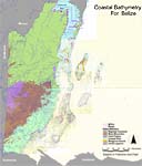
Coastal Bathymetry of Belize |

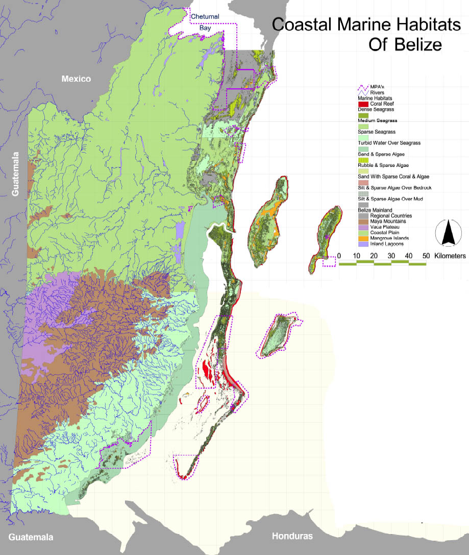
Coastal Marine habitats |
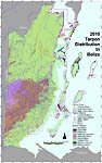
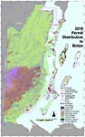
2010 Tarpon distribution in Belize |

2010 Bonefish distribution in Belize |
2010 Permit distribution in Belize |
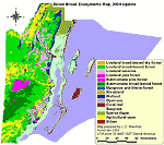
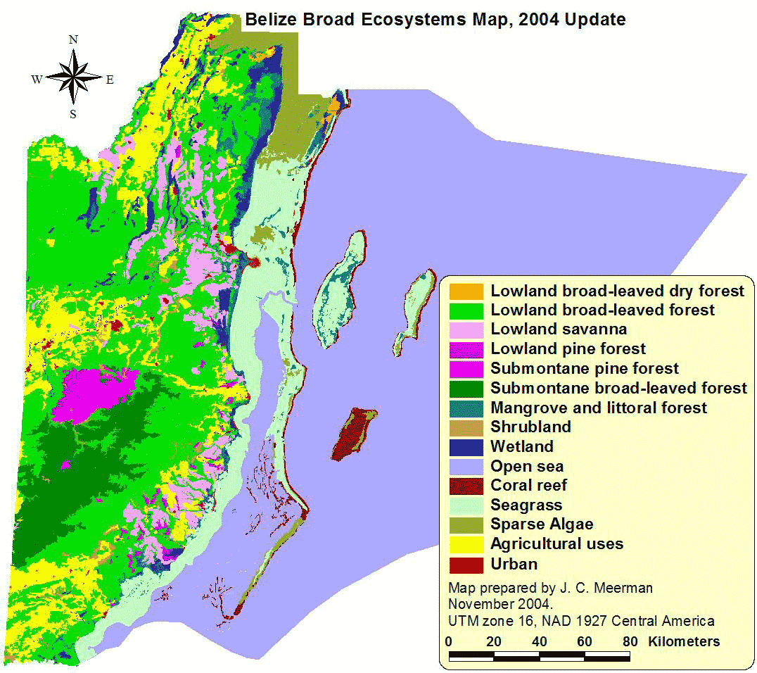
Belize Broad Ecosystem Map |
LandSat of Guatemala and Belize |
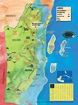
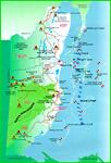
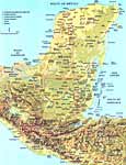
Detailed Belize Map |
Belize Jungle Lodges |
Detailed Belize Map |
Huge map, in Spanish |
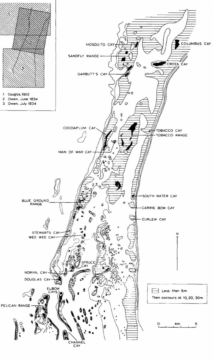
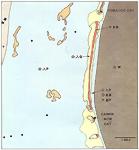
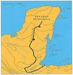
Cayes of the Belize Barrier Reef
and Lagoon |
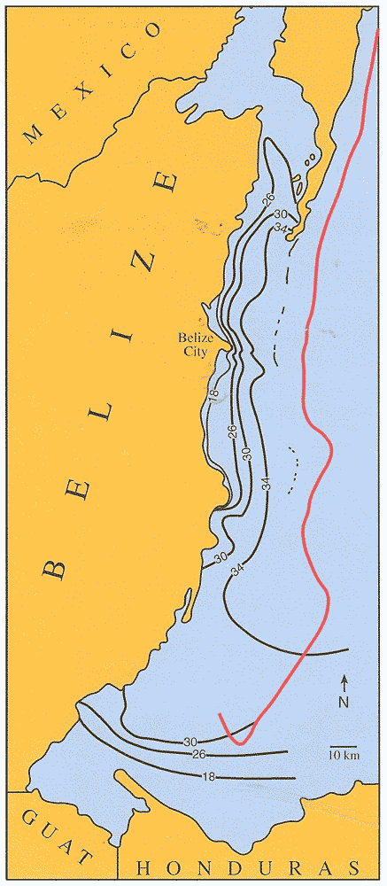
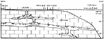
Reef topography between Columbus Cay and Channel Cay |
Belize Forest Cover Map |
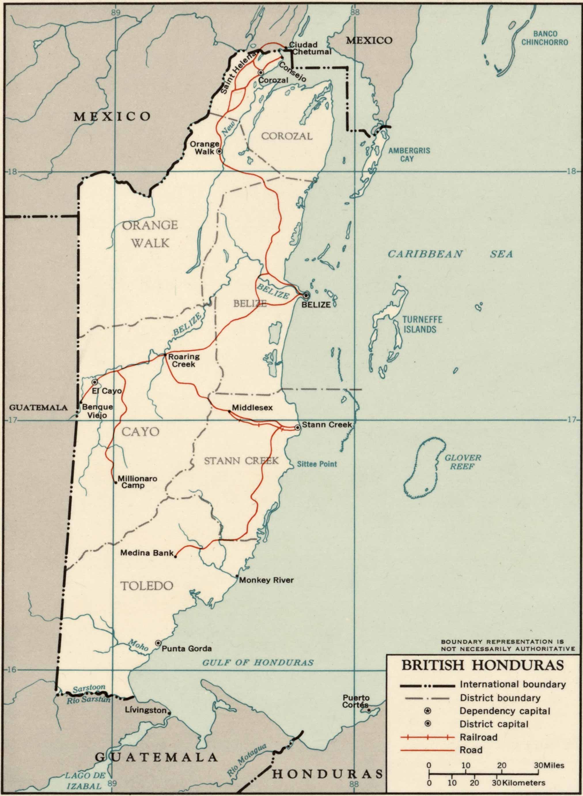
British Honduras CIA map, 1965 |
Belize Dive Map
Page 1 |
Belize Dive Map
Page 2 |
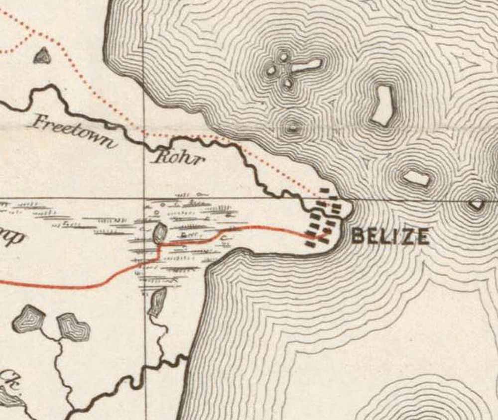
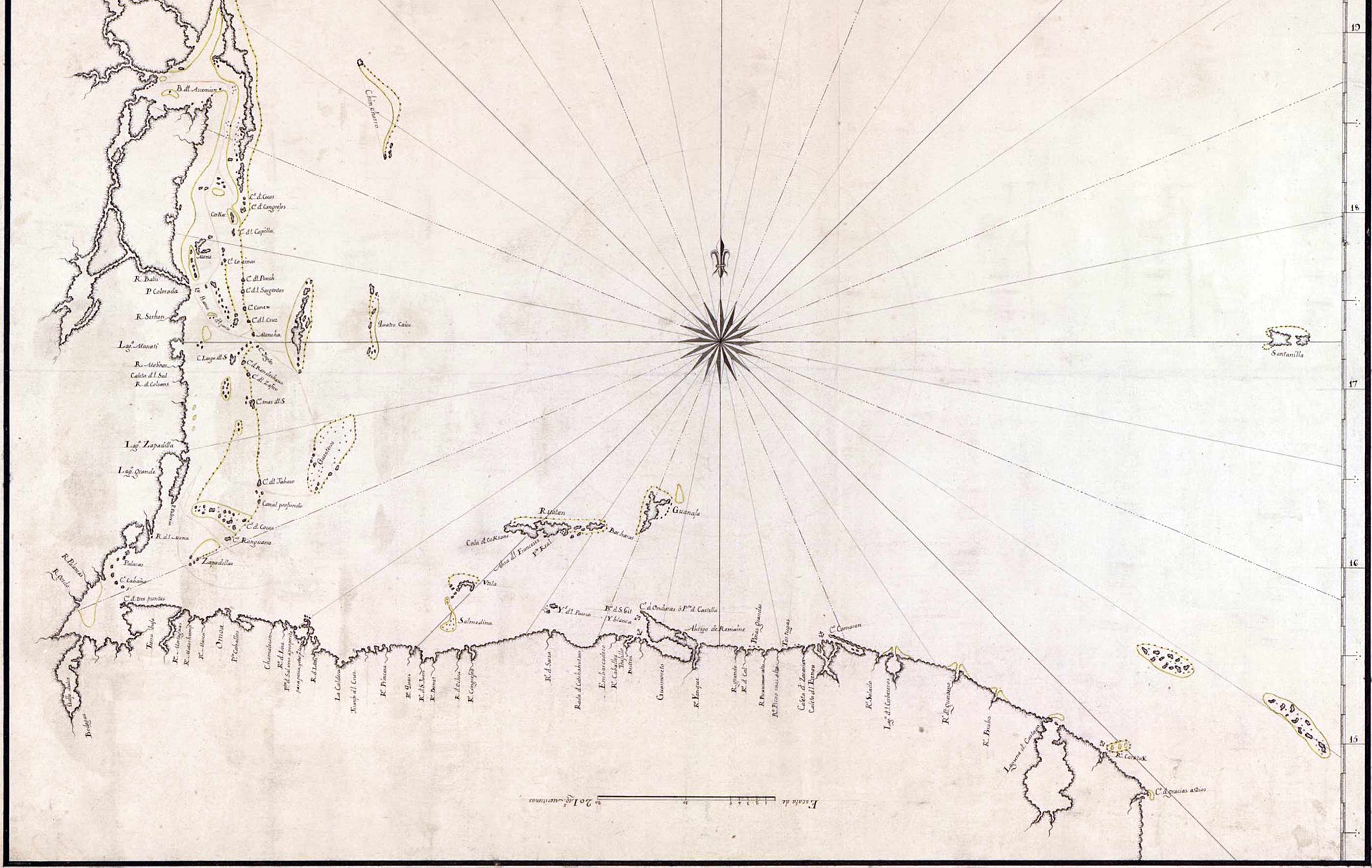
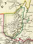
1786 map of the area of British Honduras
Huge version |
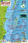
Belize Scuba Diving Map |
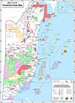
Belize Protected Areas |
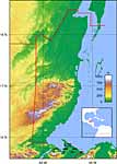
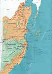
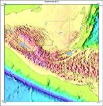
Belize Topography |
Belize Atolls Dive Map and Coral Reef Creatures |
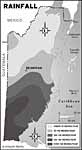
Belize annual rainfall |
Belize |
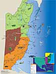
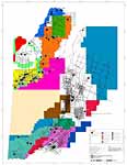
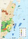
Belize Land Holding and Development
Click here for more info than map |
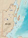
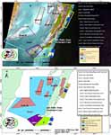
Maps of Oil Wells in Belize 2012 |
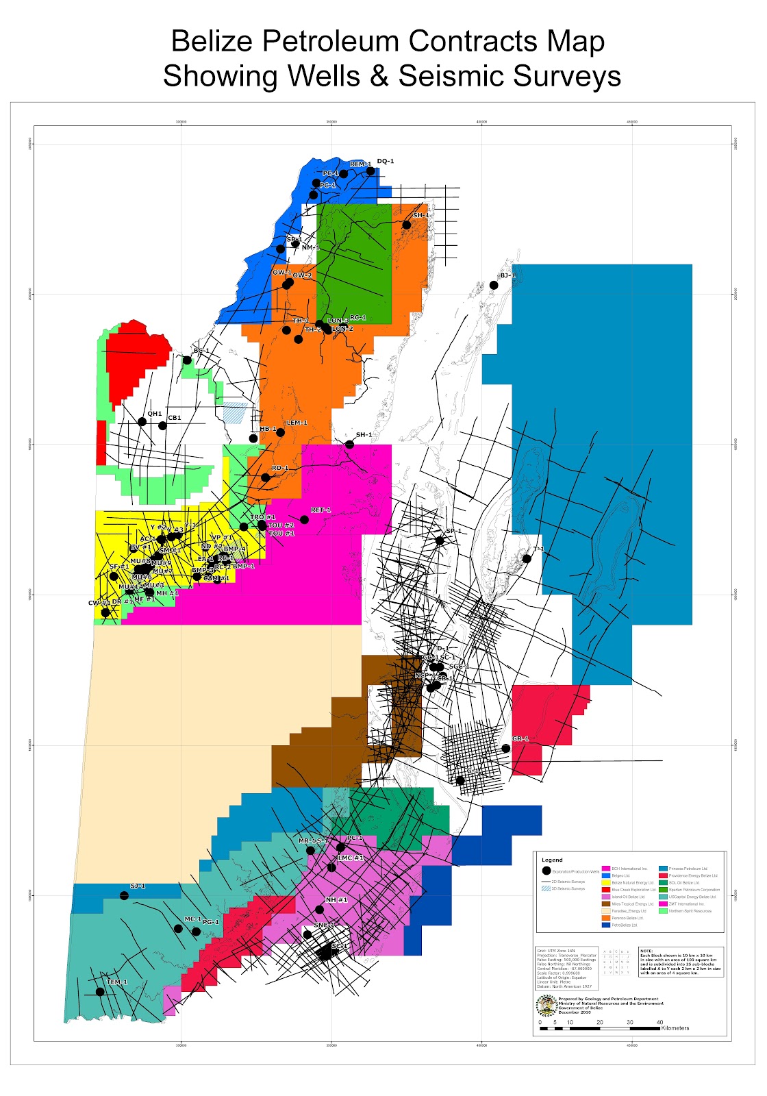
Belize Seismic Surveys and Oil Wells, 2010 |
Belize Petroleum Contracts Showing Oil Wells & Seismic Surveys |
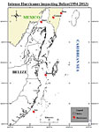
Intense Hurricanes Impacting Belize 1954 - 2013 |
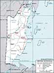
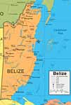
Belize |
Belize |
Protected areas |
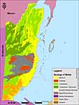
Geologic resources of Belize |
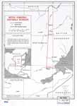
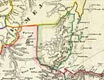
Belize - Guatemala - Honduras
border lines |
Part of the boundary between British Honduras and Guatemala from the Wyke–Aycinena Treaty, 1861
1859 Treaty |
Border between British Honduras (now Belize) and Guatemala, 1961. Lines drawn in 1929 |
Interactive Belize Map
(Click To Zoom Or Navigate) |
Fishing Managed Access Zones |
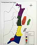
Fishing Managed Access Zones
color coded |

Coral reefs, satellite |
Maya Island Air Destination Map |
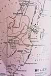
1920's Railroad map of British Honduras |
Colony of British Honduras, 1909 |
Relief map
Belize and Guatemala |
British Honduras, 1965 |
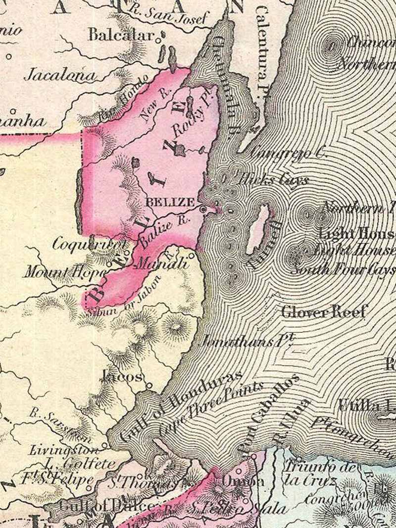
British Honduras, 1850 |
Map from The British Colonial archives after the 1859 treaty set the border boundaries with Guatemala |
Belize Electoral Divisions Map |
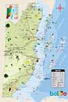
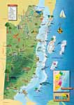
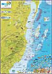
BTB Large map 2017 |
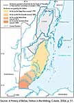
Locations of Maya resistance (16th century), fights against the Spanish (18th century), Ycaiche attacks (Canul) (19th century), and slave resistance and escapes (19th century), along with th eline between the various capitals of Belize over the years |
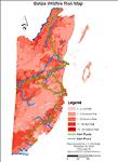
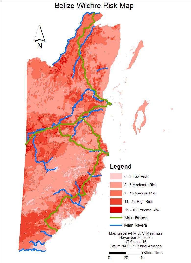
Fire risk zones |
British territory in the Yucatan, 1840, Berghaus' Physikalischer Atlas |
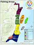
Fishing Managed Access Zones |
British territory in the Yucatan, 1787 |
The part of Yucatan granted by the Spanish to the English for the cutting of wood according to the Treaties of 1783 and 1786 |
British territory in the Yucatan, 1855, Colton Map of Central America |
British Honduras, 1864, Johnson Map of Central America |
British Honduras, 1888 |
1840 |
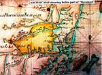
Old map showing Belize part of "Mayaland" |
Portion of 19th Century Map |

1753 Map of Belize |
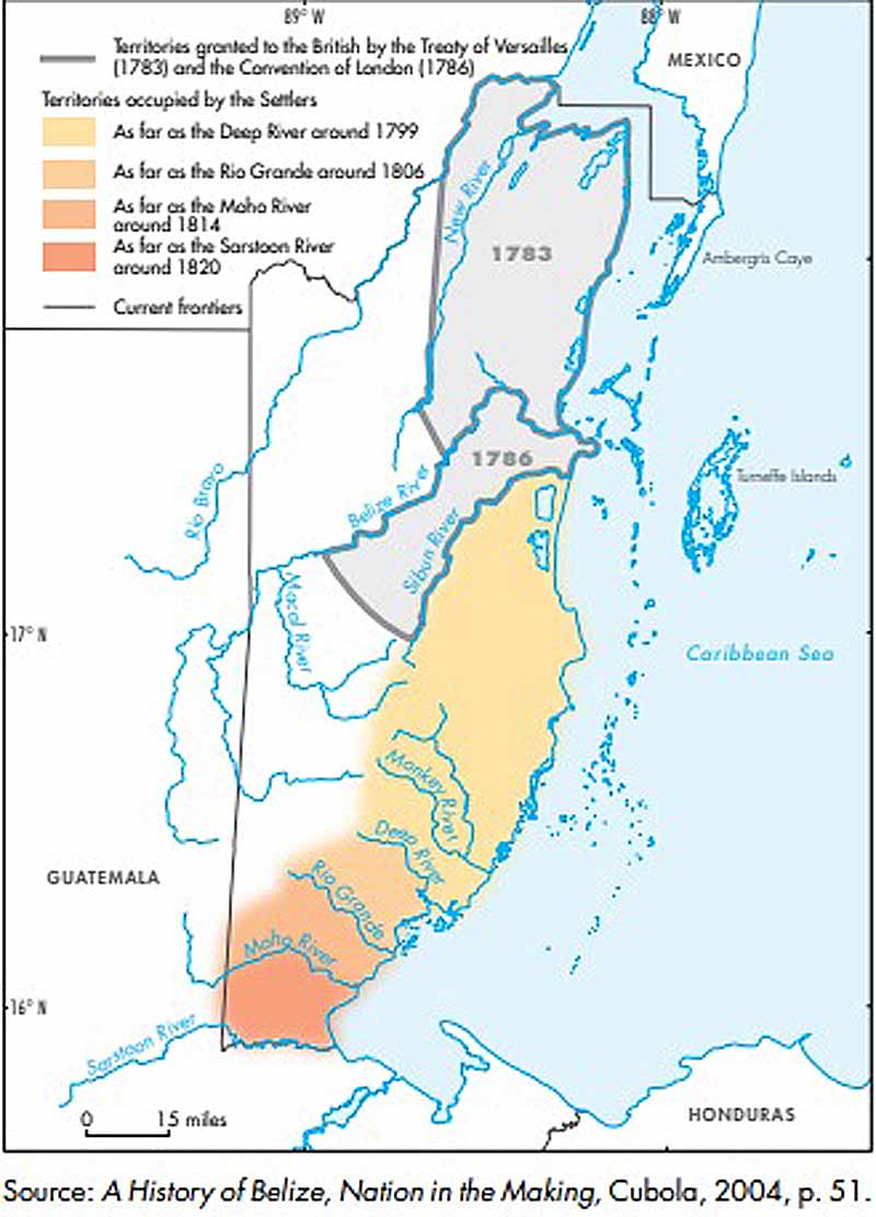
Territories granted by the British by the Treaty of Versailles (1783), the Convention of London (1786), and Territories occupied by settlers in the early 1820's |
Tropic Air Destination Map |
British Honduras: Invention of a Colonial Territory. 2014 Ebook. LOTS of maps |
Old exercise book map |
Old British Honduras map |
Earliest boundaries of the settlement in 1783 and 1786 and its expansion to the Sarstoon by around 1820 |
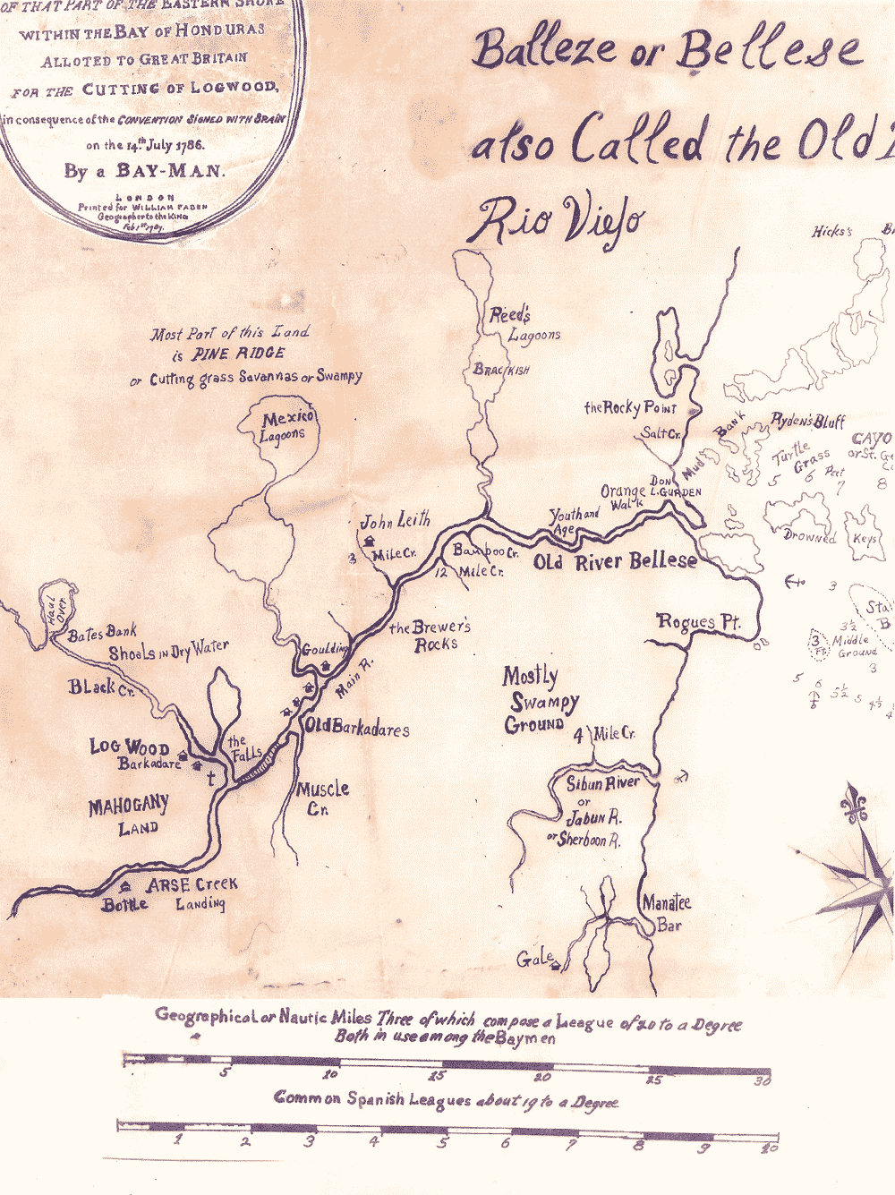
A Map of A Part of Yucatan or of that Part of the Eastern Shore within the Bay of Honduras Allotted to Great Britain for the Cutting of Logwood, in consequence of the Convention Signed with Spain on the 14th July 1786 |
Cities, boundaries, rivers, reef |
1909 British Honduras Road & Lighthouse Plan |
|
|
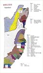
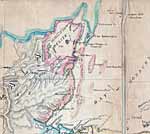
Maps of the Cities and Districts of Belize, also Parks and Natural Features Top of page
Click maps for larger versions
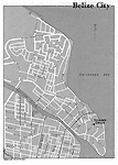
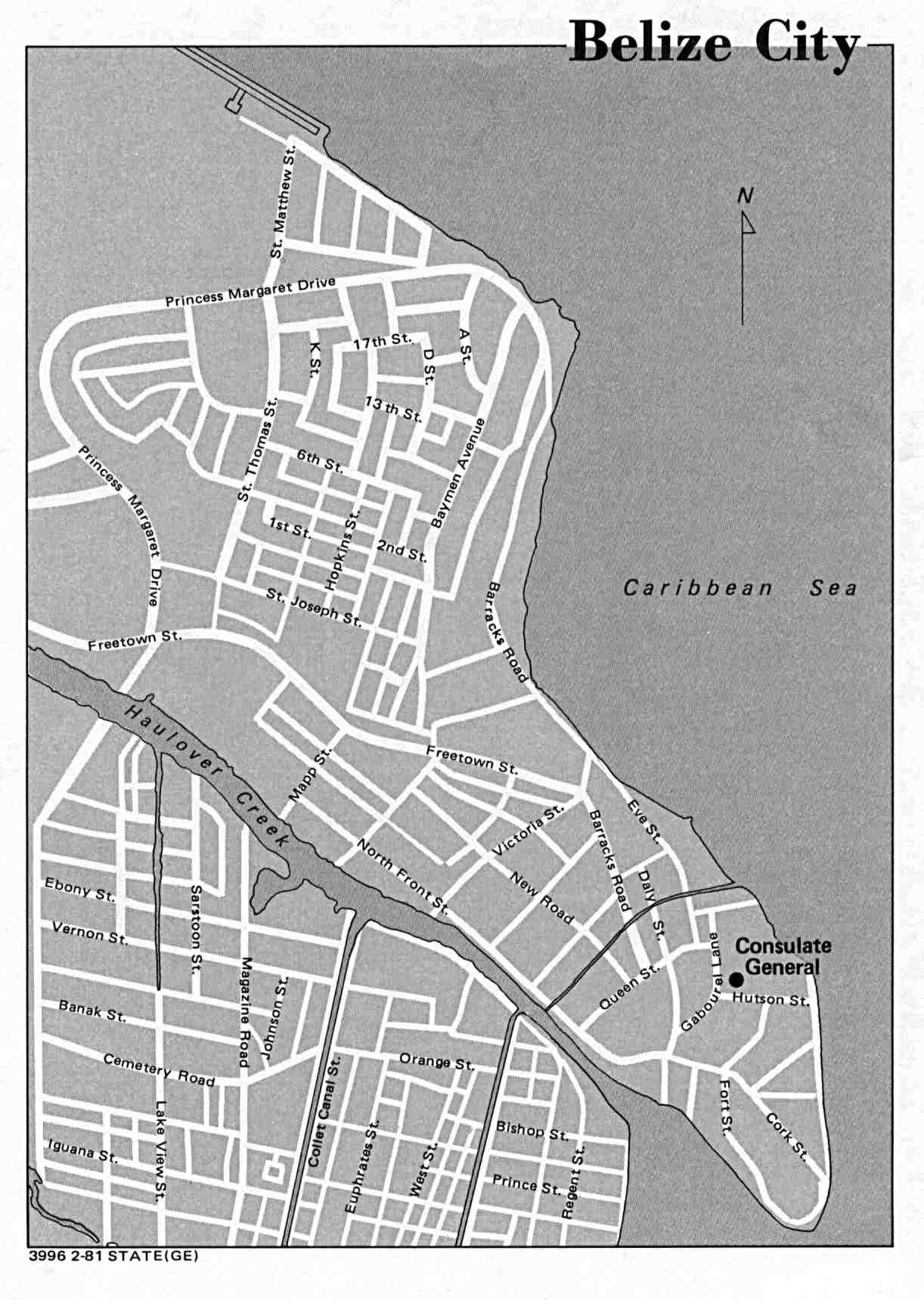
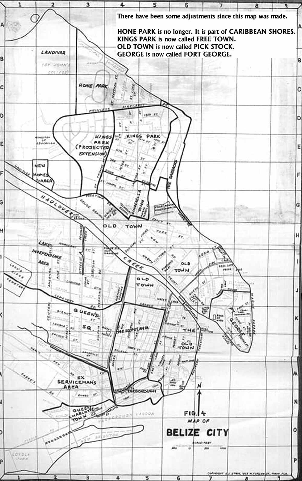
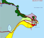
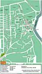
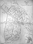
Belize City |
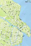
Belize City |
Belize City |
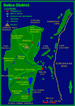
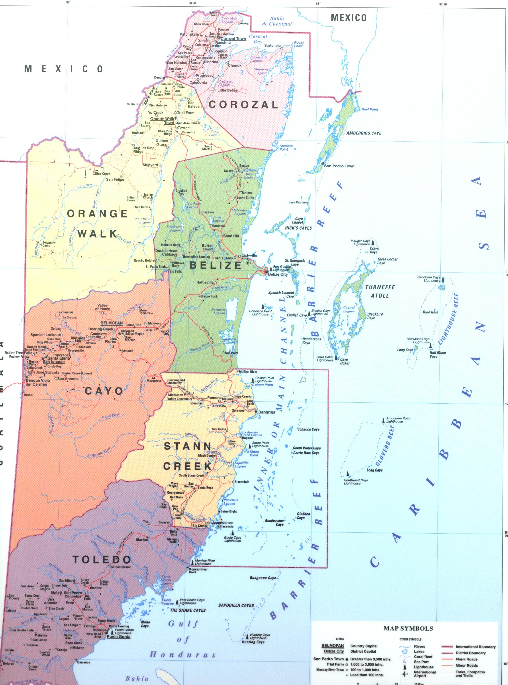
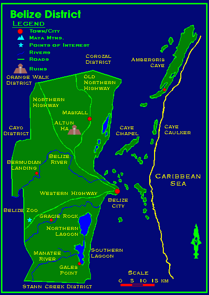
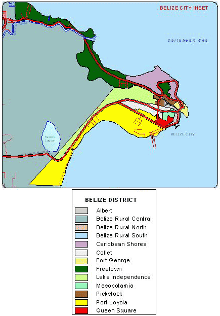
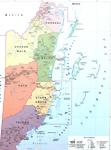
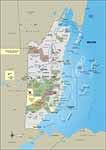
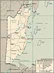
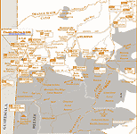
Belize District |
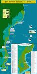
The Placencia Peninsula |
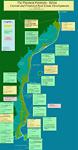
Placencia Peninsula current and proposed developments
|
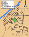
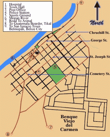
Benque Viejo del Carmen |
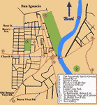
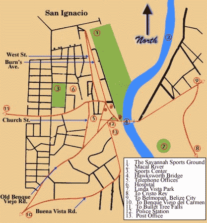
San Ignacio |
Belize District Electoral
Divisions |
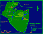
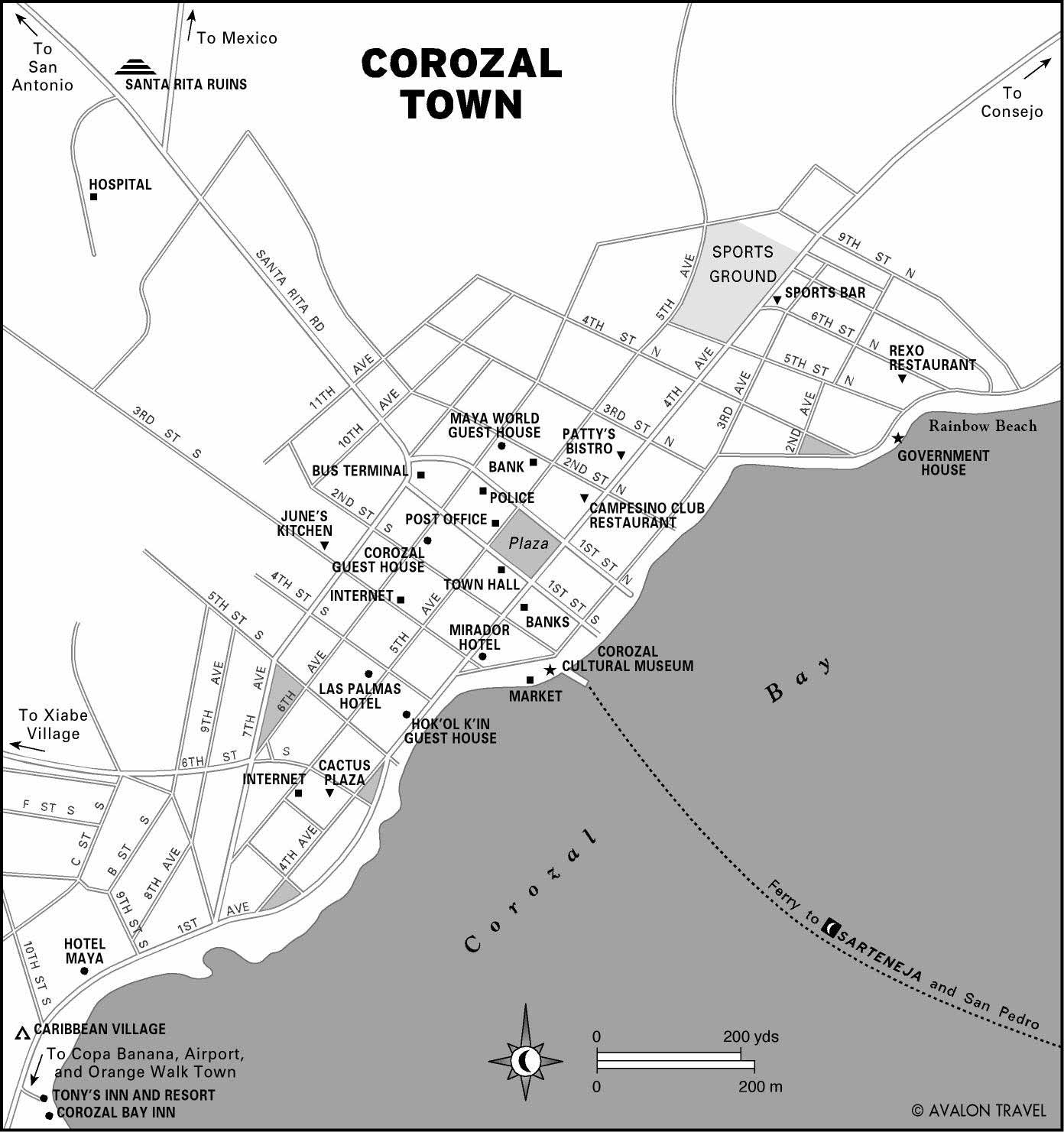
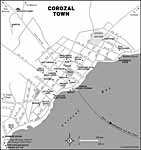
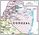
Corozal District |
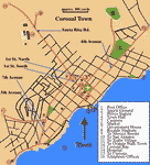
Corozal Town |
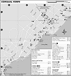
Corozal Town |
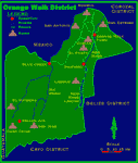
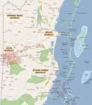
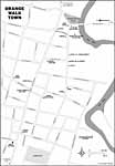
Orange Walk District |
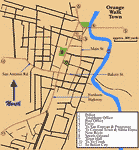
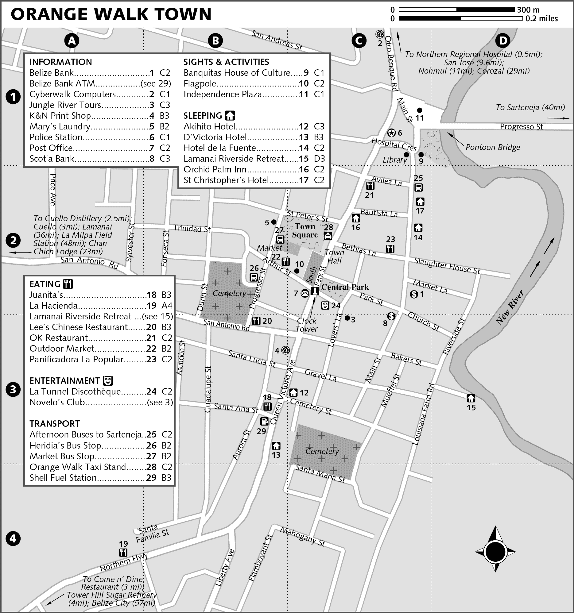
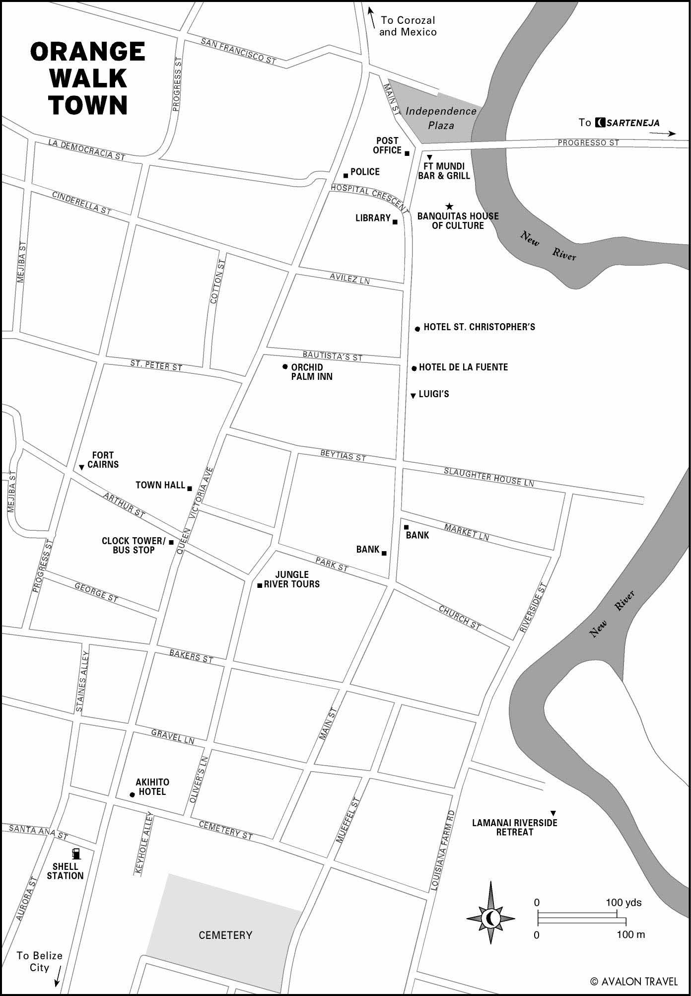
Orange Walk Town |
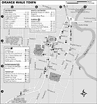
Orange Walk Town |
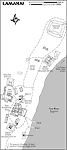
Lamanai |
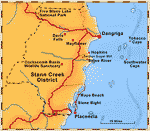
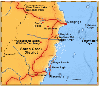
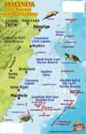
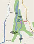
Stann Creek District |
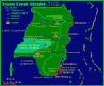
Stann Creek District |
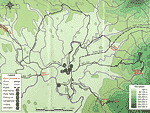
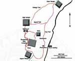
Cockscomb Wildlife Sanctuary and Jaguar Preserve Trails |
Cockscomb Wildlife Sanctuary and Jaguar Preserve Area |
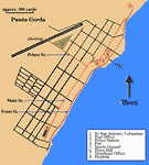
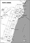
Punta Gorda |
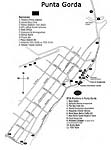
Punta Gorda |
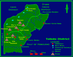
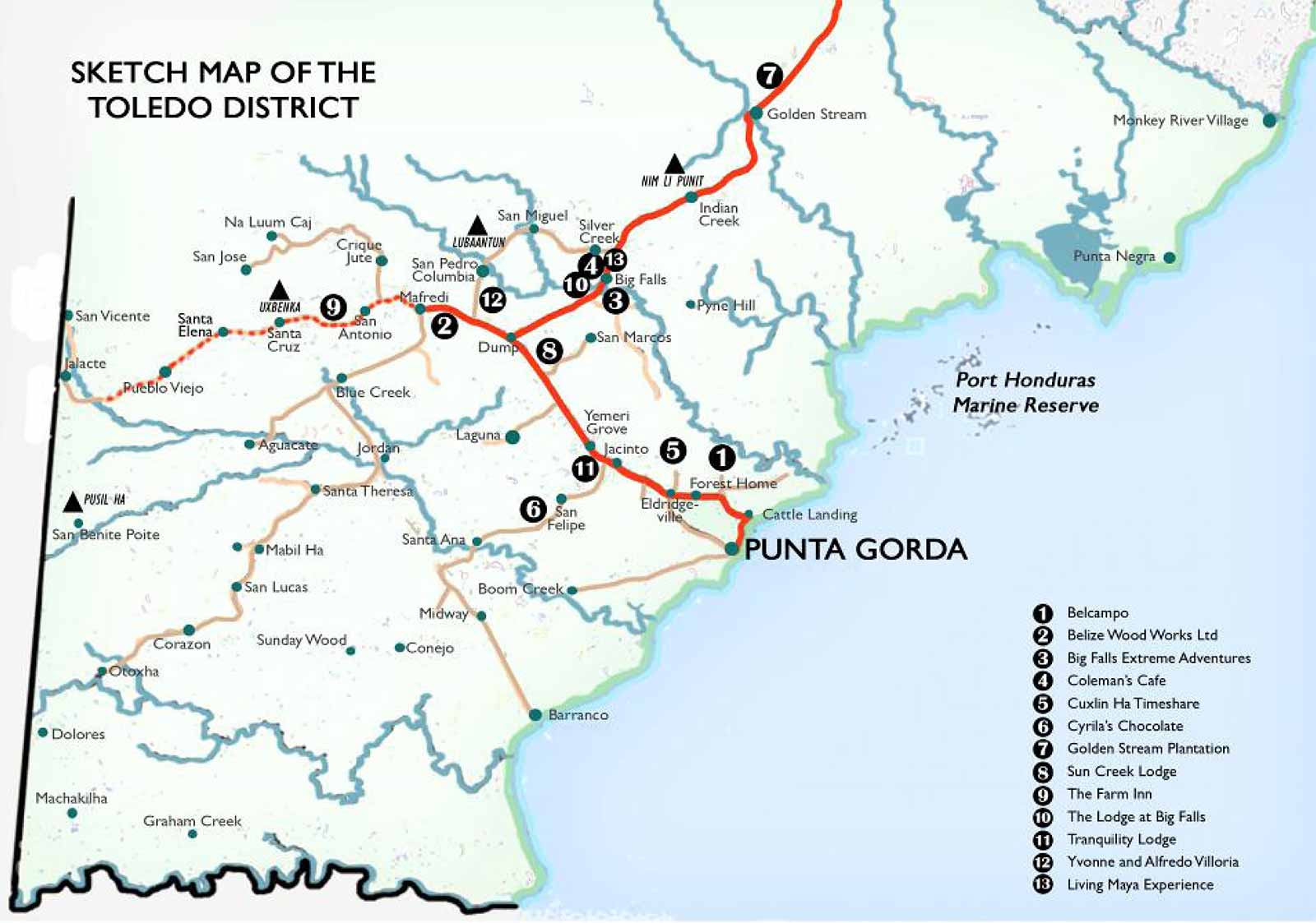
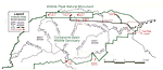
Toledo District |
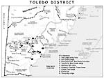
Toledo District |
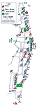
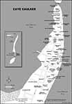
Caye Caulker |
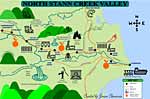
Cayo with attractions |
Placencia with attractions |
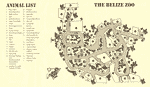
Belize Zoo |
Hidden Valley Inn directions |
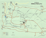
Hidden Valley Inn trails |
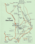
Hidden Valley Inn Clear Creek |
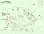
Hidden Valley Inn Property |
The Lodge at Chaa Creek property |
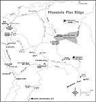
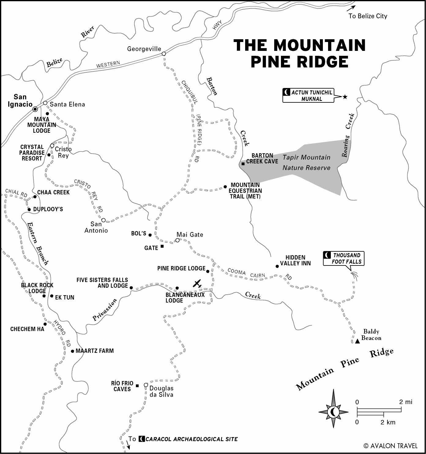
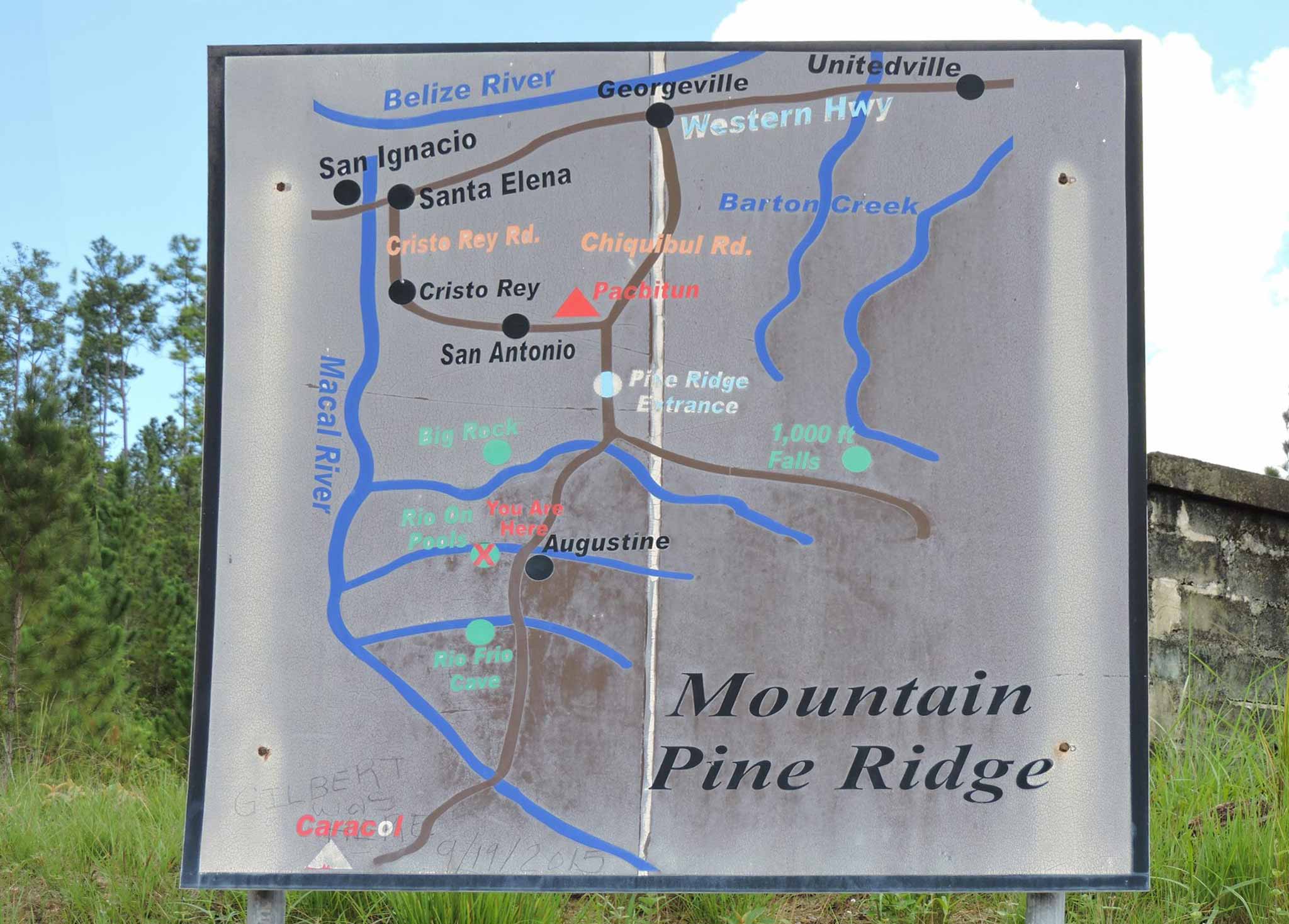
Mountain Pine Ridge |
Lamanai Ruins Trail Map |
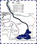
Five Blue Lakes area |
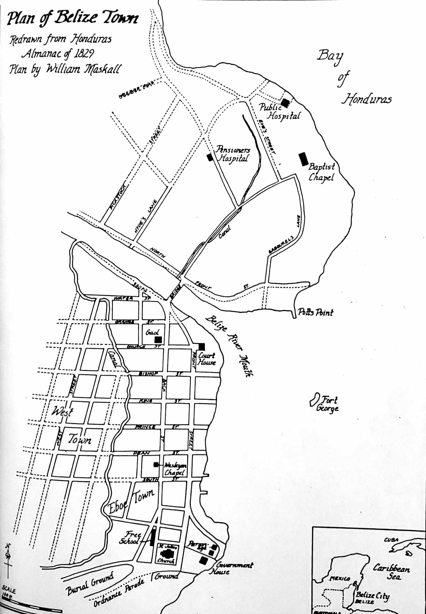
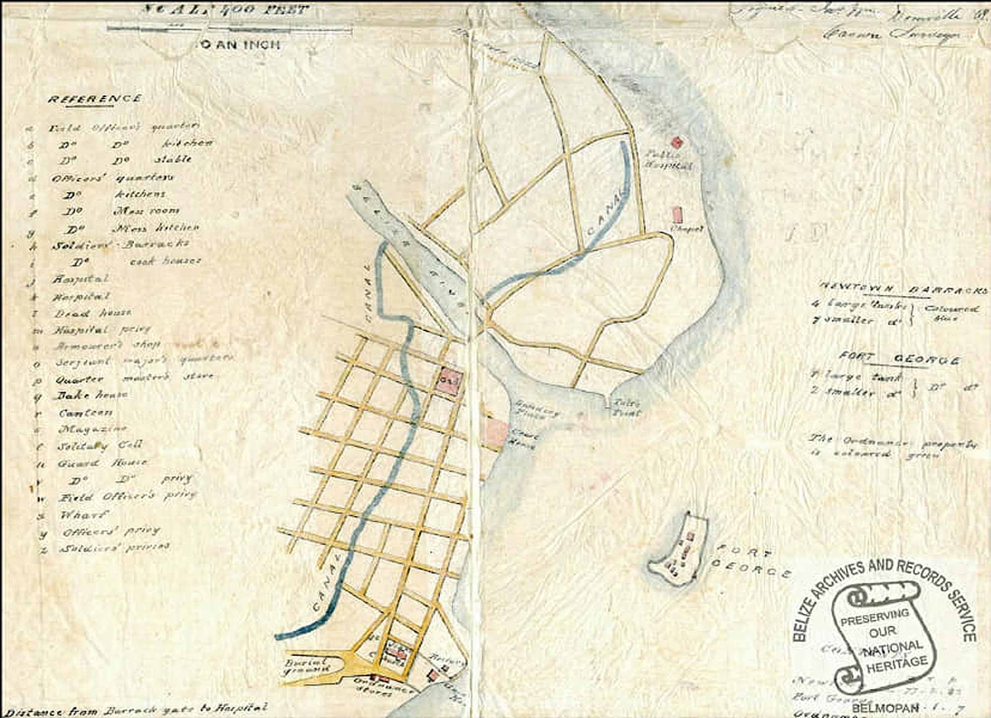
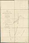
Map of Belize City 1829 |
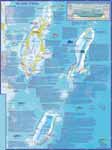
Belize Atolls Dive Map |
Placencia Reefs Dive Map |
Map of Belize City, 1829 |
Belmopan High Quality Vector Map |
Benque Viejo Del Carmen |
Glover's Reef |
Placencia |
Orange Walk Town |
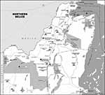
Northern Belize |
Corozal Town |
Punta Gorda |
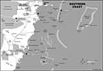
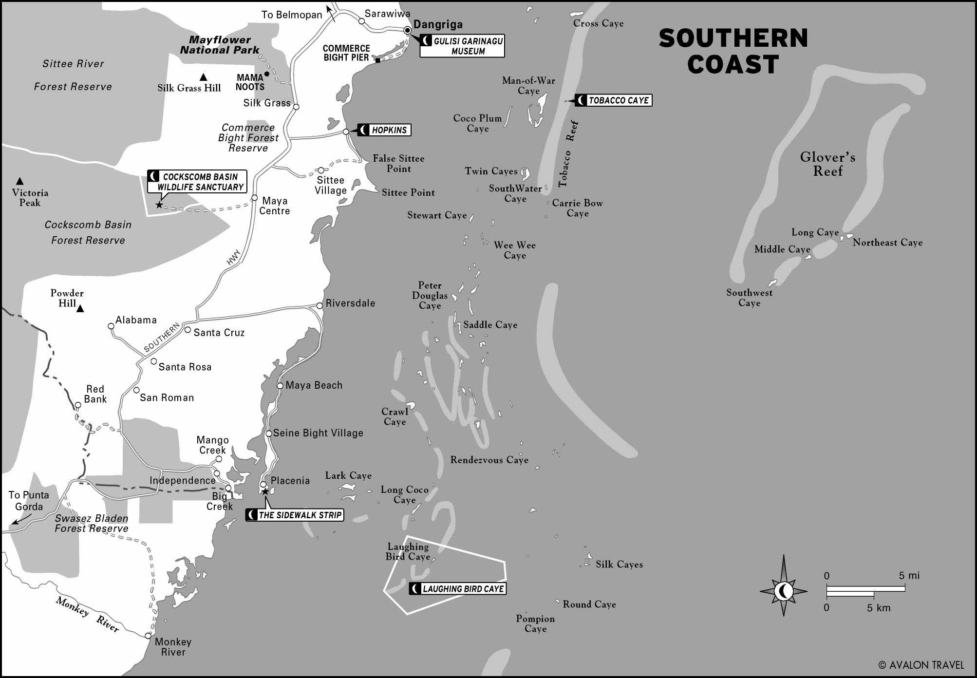
Southern Coast |
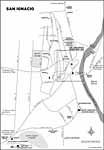
San Ignacio |
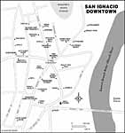
San Ignacio downtown |
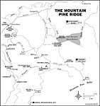
Mountain Pine Ridge |
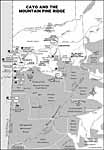
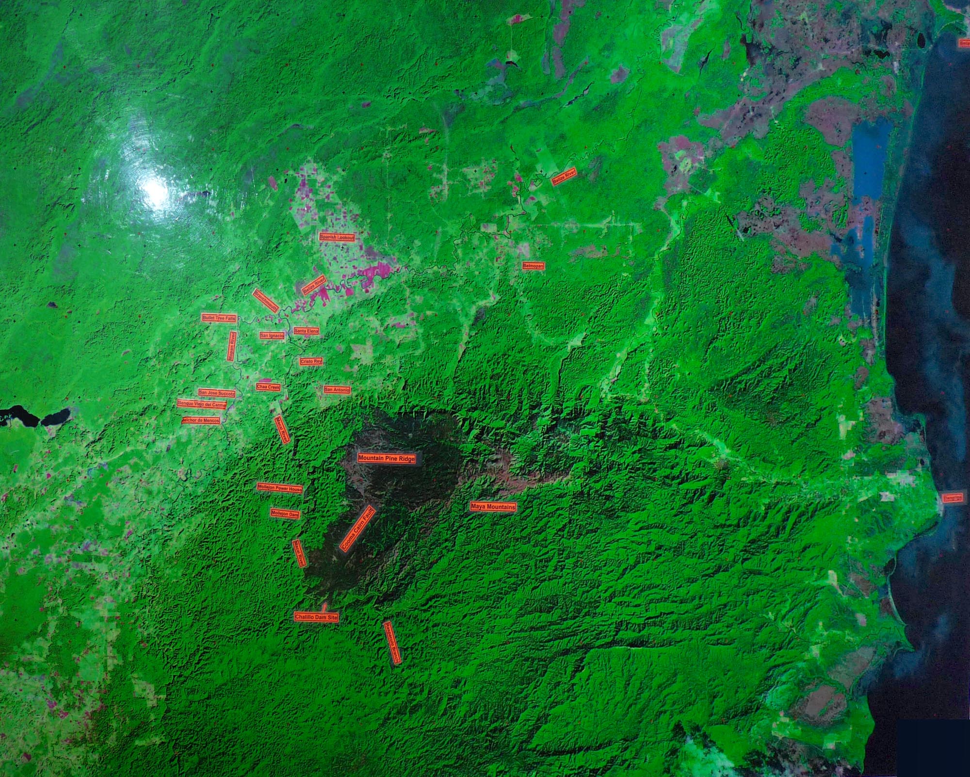
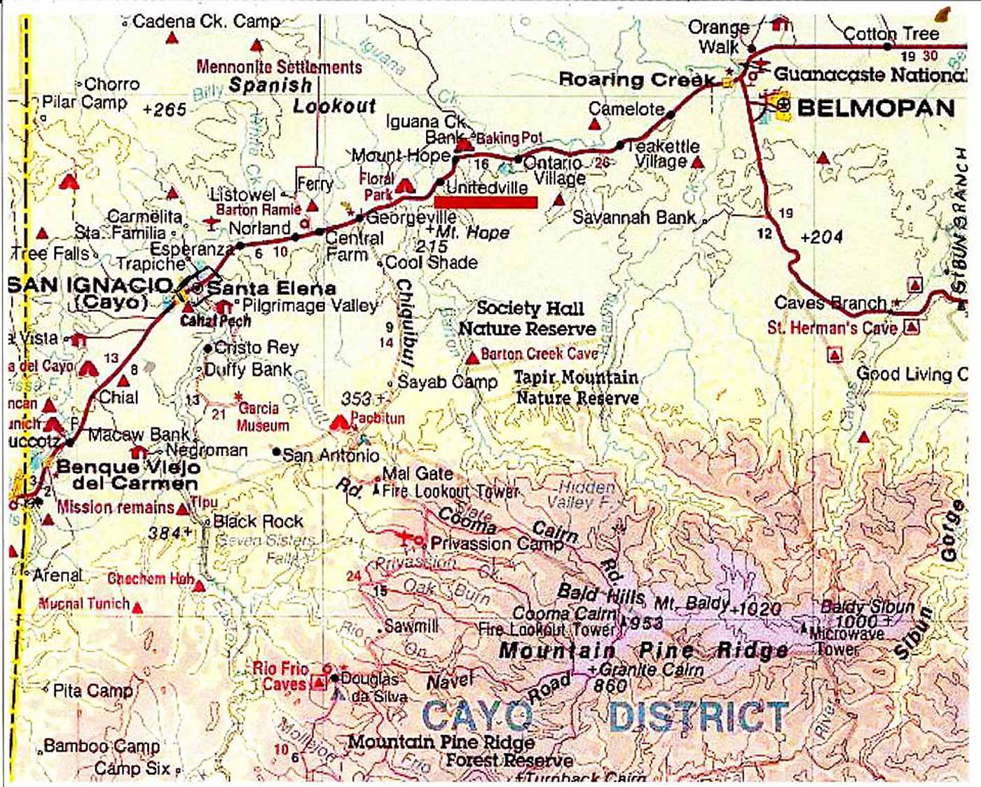
Cayo and the Mountain Pine Ridge |
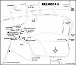
Belmopan |
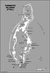
Turneffe Island Atoll |
Caye Caulker |
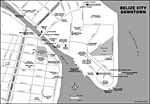
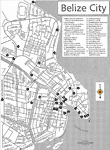
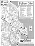
Belize City downtown |
San Ignacio |
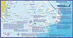
Placencia Dive Map and Coral Reef Creatures |
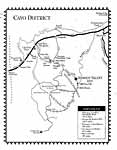
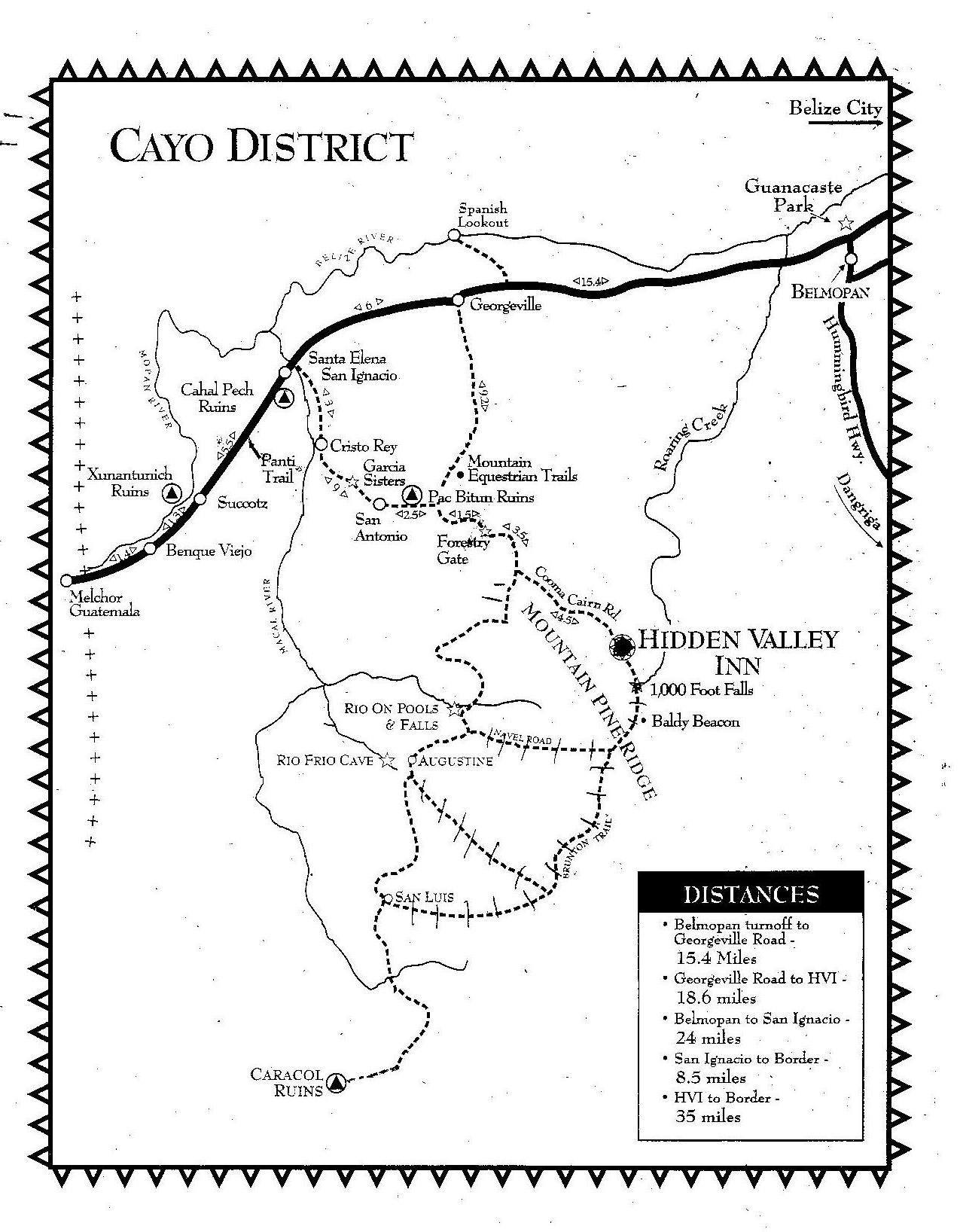
Cayo District |
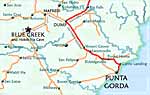
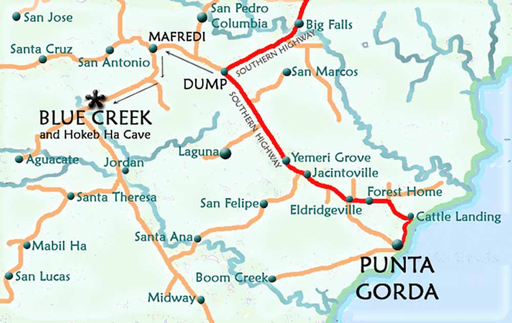
Blue Creek - Punta Gorda area |
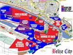
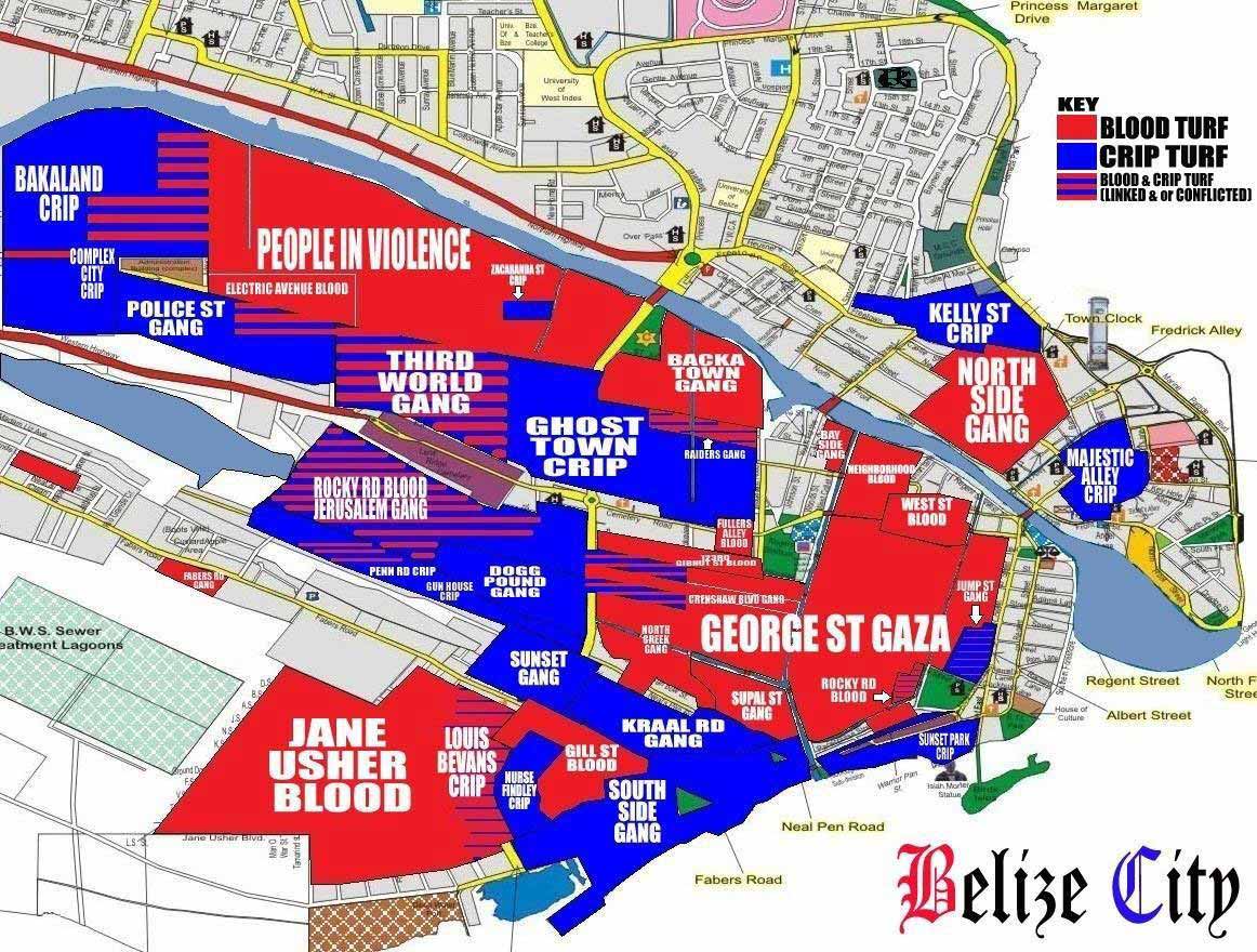
Belize City Gang Map |
Caracol |
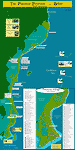
Barrier Reef from San Pedro to Placencia |
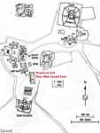
ATM- Actun Tunichil Muknal |
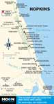
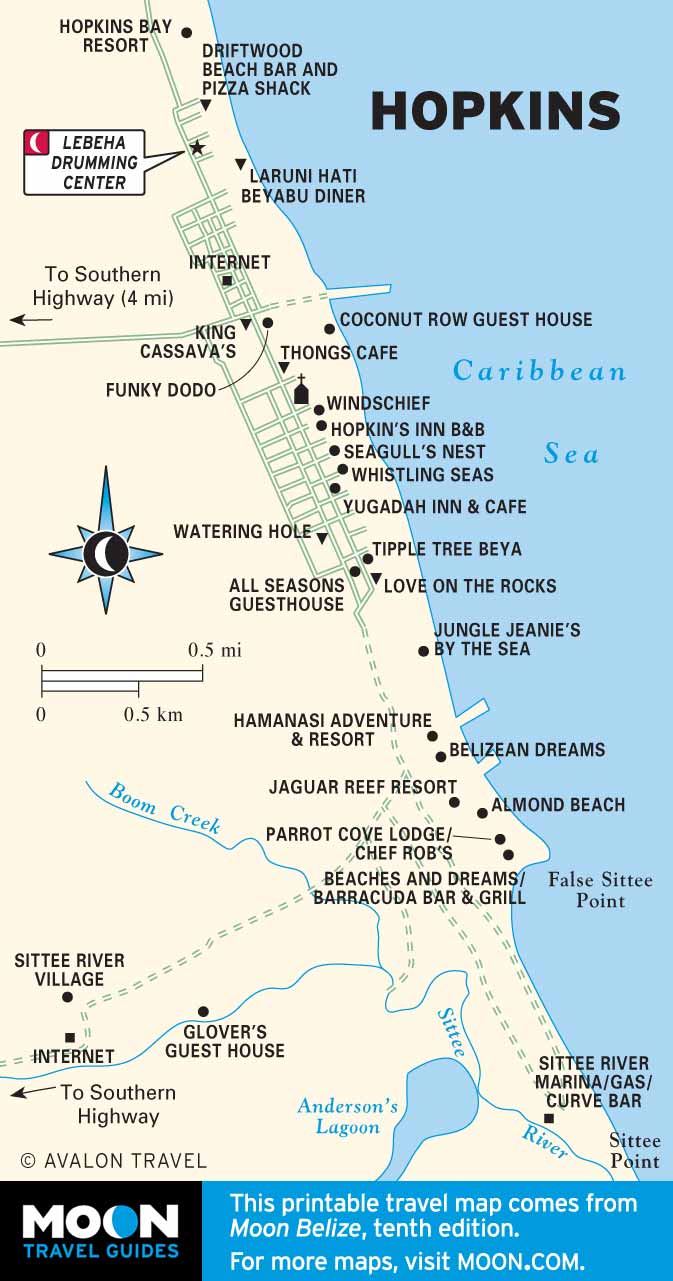
Hopkins |
Giant Cave, Caye Caulker Cave System |
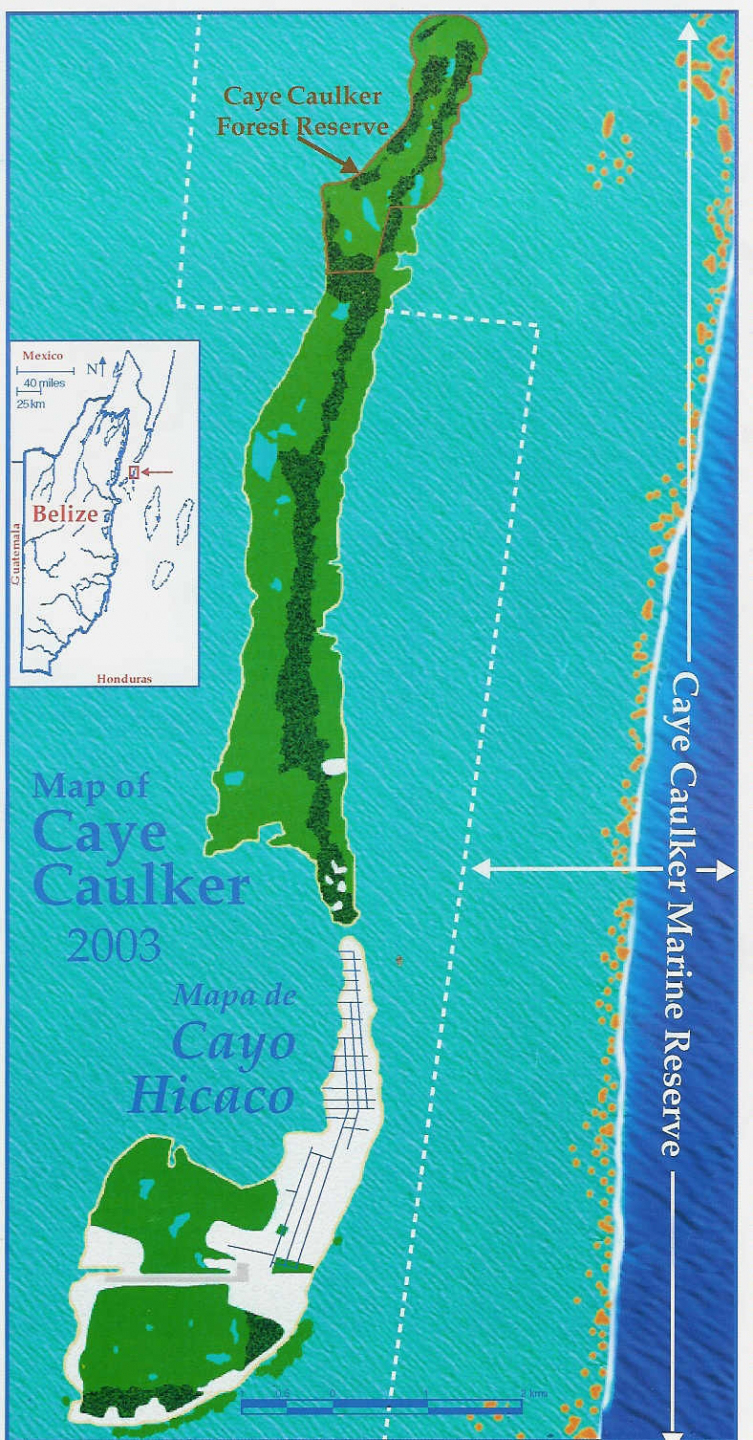
Caye Caulker, Cayo Hicaco |
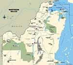
Northern Belize |
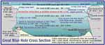
Great Blue Hole cross section |
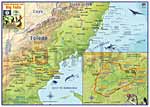
Toledo District |
Big Falls Adventure Trails, Southern villages |
Chiquibul Forest: Protected areas of the Maya Mountains Massif |
9 Maya Site Maps Of Belize: Cahal Pech, El Pilar, Caracol, Xunantunich, Altun Ha, Lubaantun, Nim Li Punit, Cerros, Lamanai |
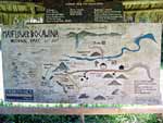
Mayflower Bocawina National Park |
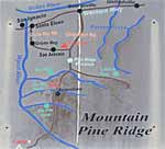
Mountain Pine Ridge |
The Estuary at Caye Caulker |
San Ignacio & Santa Elena |
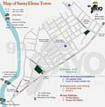
Santa Elena |
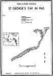
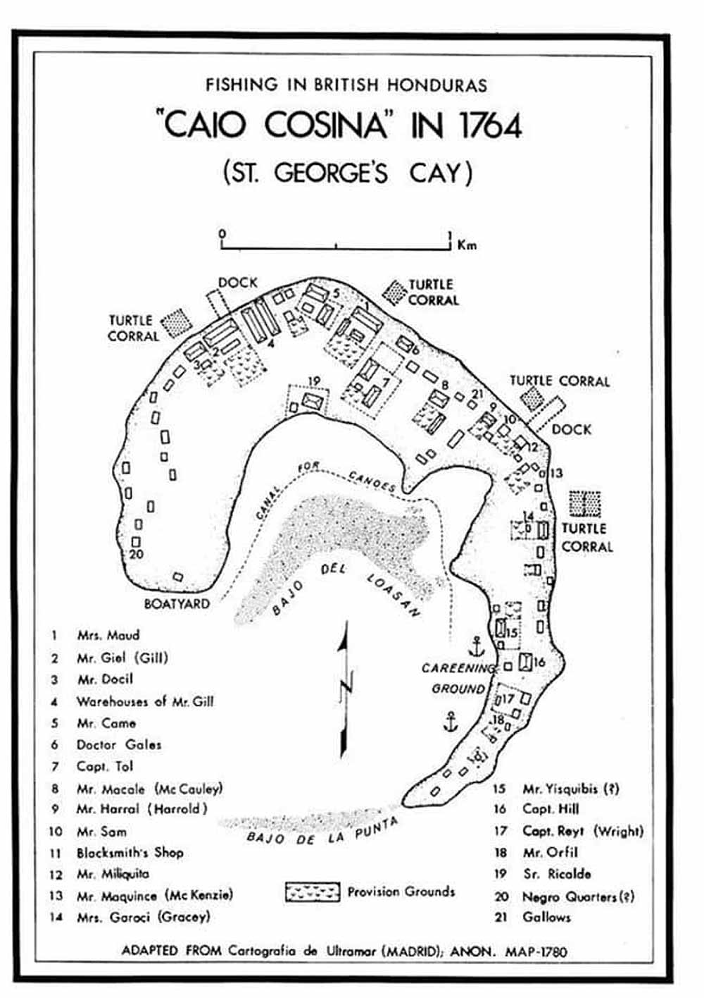
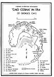
St. George's Caye 1945 |
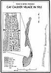
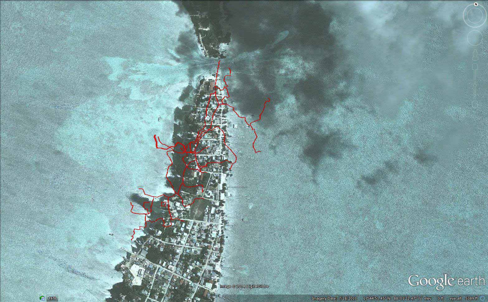
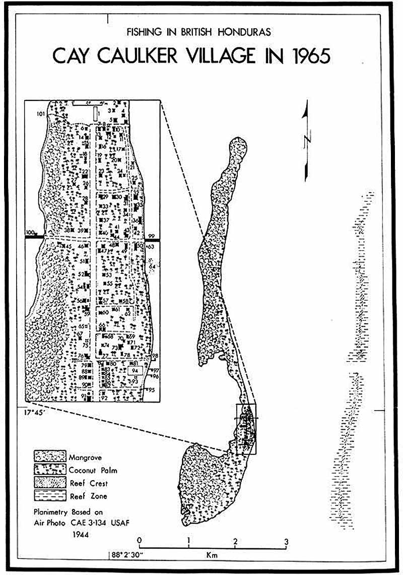
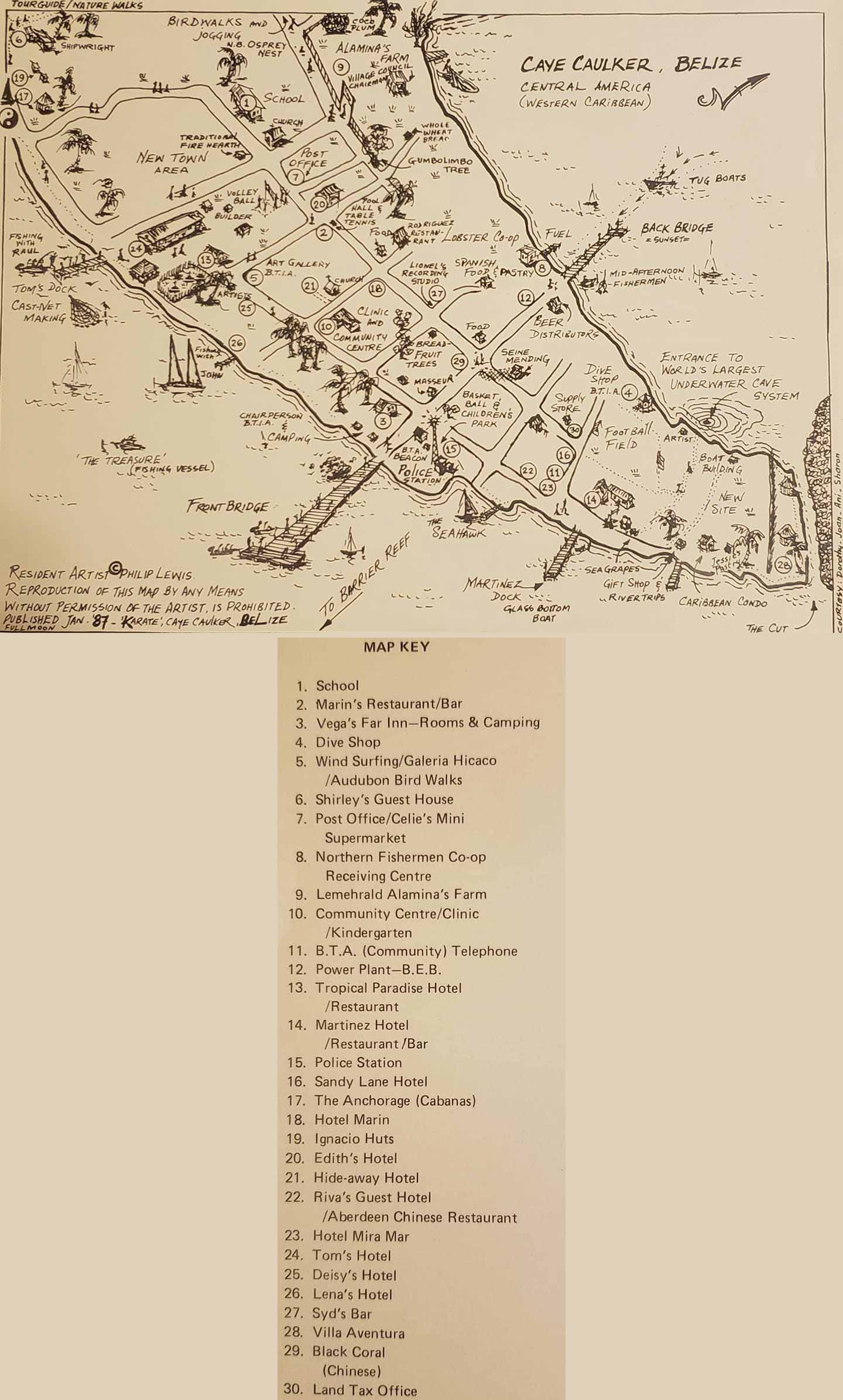
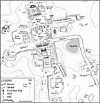
Caye Caulker in the 1960s |
Caye Caulker in the 1960s, plots, common areas marked |
Western Belize |
Cayo |
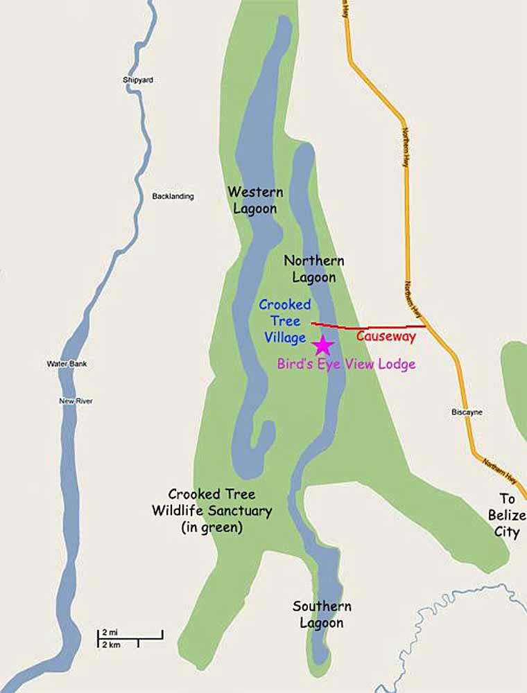
Crooked Tree Wildlife Sanctuary |
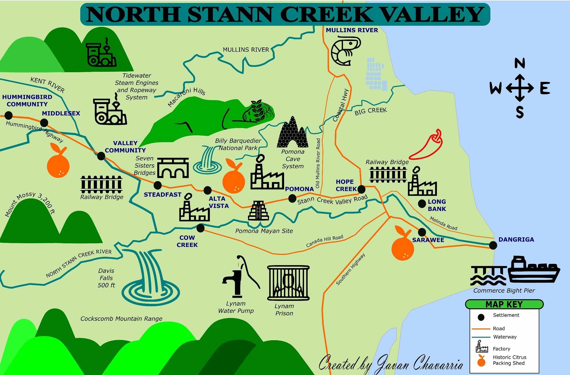
North Stann Creek Valley |
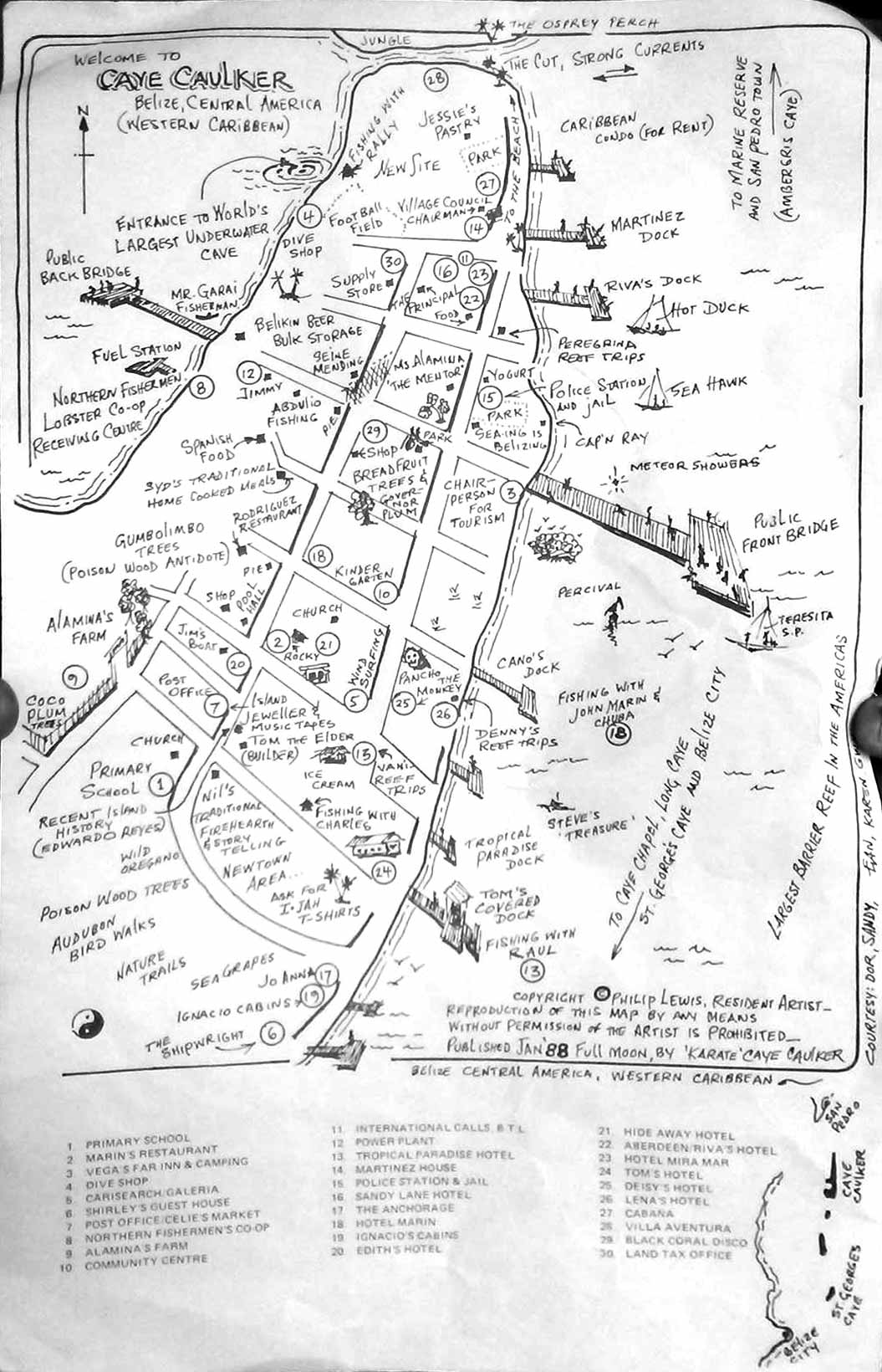
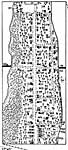
Caye Caulker 1988, map by Karate |
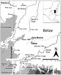
Corozal area |
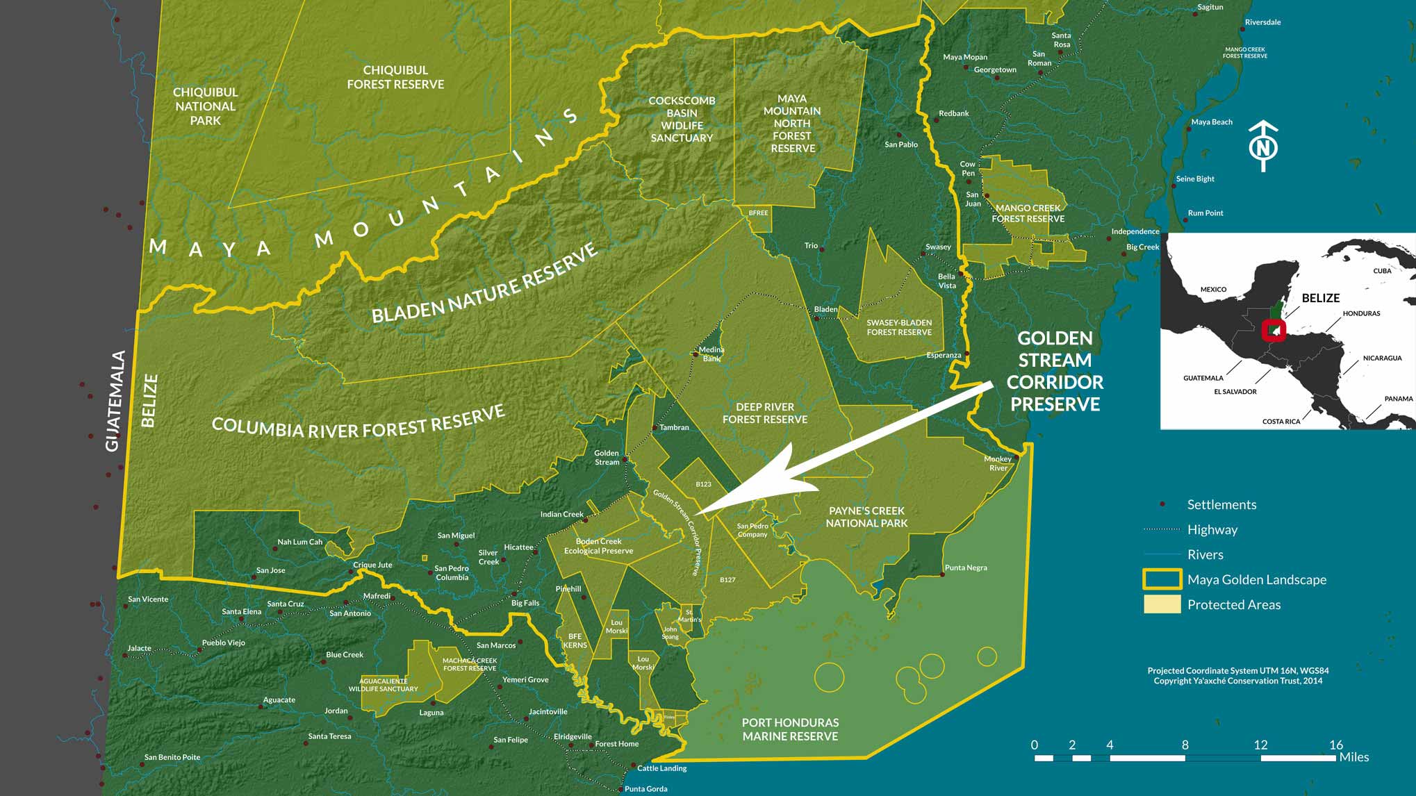
The 770,000-acre Maya Golden Landscape |
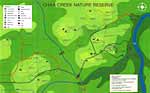
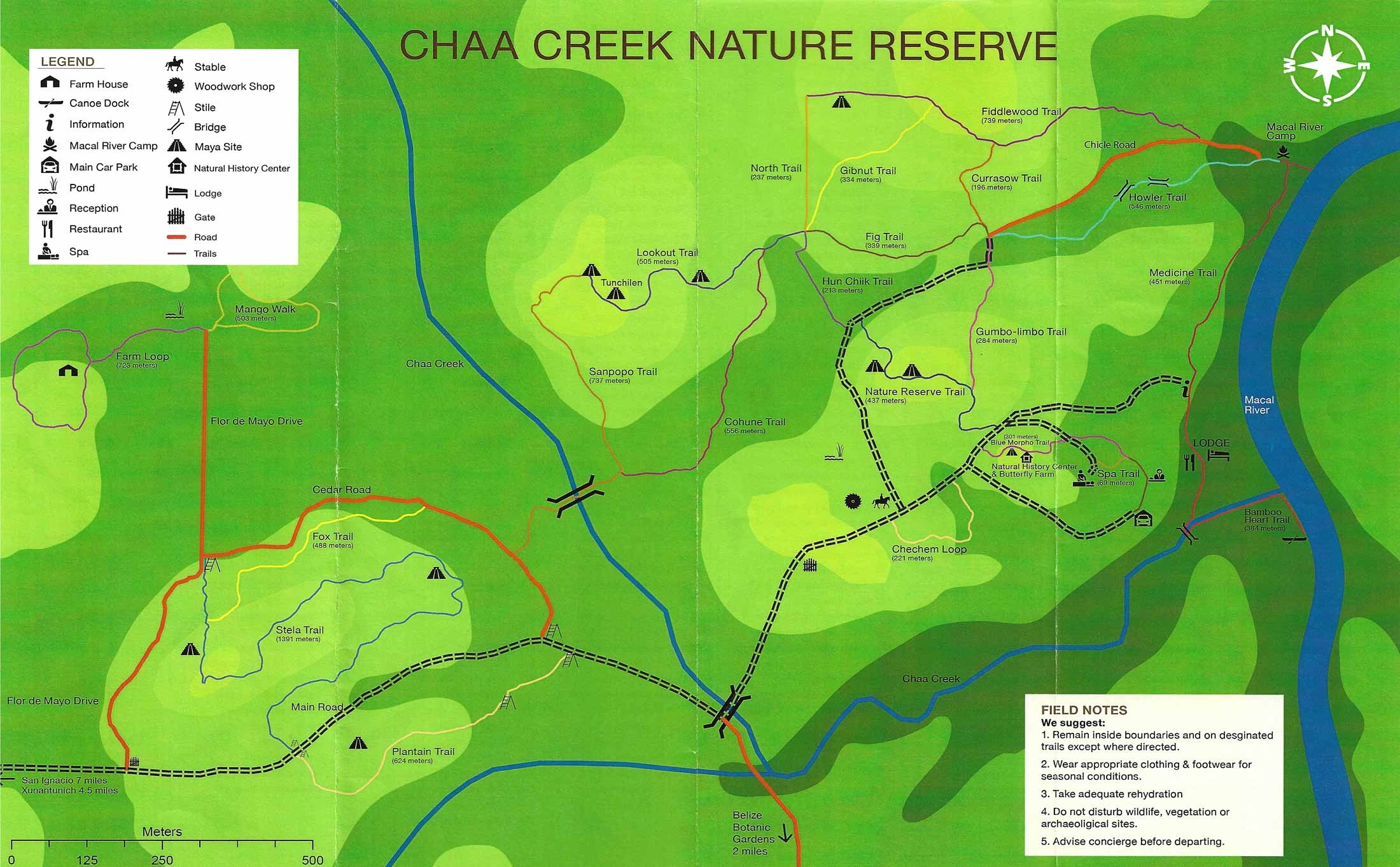
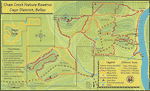
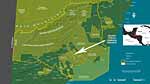
Chaa Creek Nature Reserve |
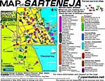
Sarteneja |
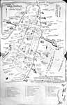
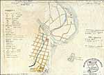
Old map of Belize City and it's subdivisions |
Xunantunich |
Belize City in 1829 |
St George's Caye in 1764 |
Belize City from the 1829 British Honduras Almanack |
Map of Xunantunich (from LeCount and Yaeger 2010 |
Belize City in 1841 |
1831 |
Caye Caulker 1987, map by Karate |
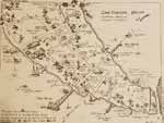
Gales Point Manatee, 1995-2000, by Jill Burgess |
Belize City map, 1939 |
Belize City map, 1990's |
Belize River Valley |
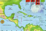
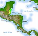
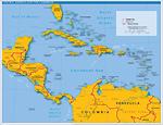
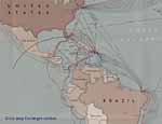
Maps of Central America Top of page
Click maps for larger versions
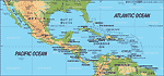
Excellent map |
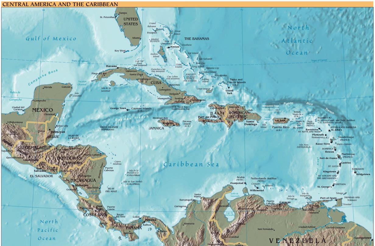
Relief map |
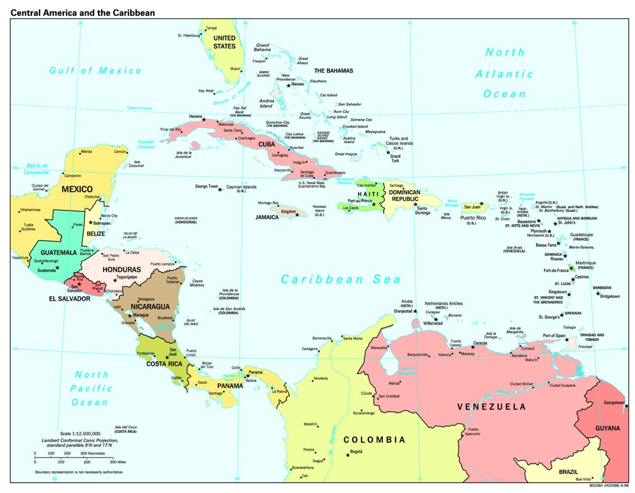
Central America and
the Caribbean |
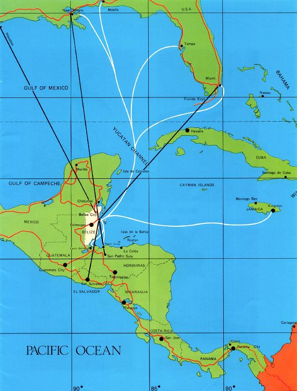
Plane routes |
1892 |

1909 United Fruit Company map |
Major tectonic units and
submarine features |
Yucatan Peninsula, showing
rainfall increasing southward,
contours in centimeters per year |
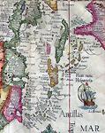
Cornelis van Wytfliet, 1597
This is the the first map to individually depict Central America. |
Petrus Bertius, 1616 |
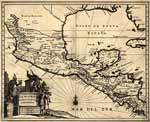
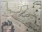
Central America |
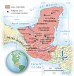
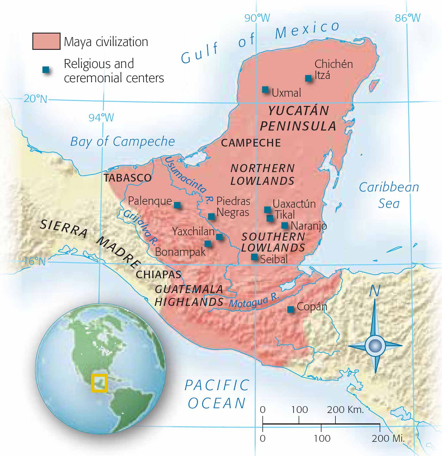
Maya civilization, religious and ceremonial centers |
Maya trade routes |
Central America, 1892 |
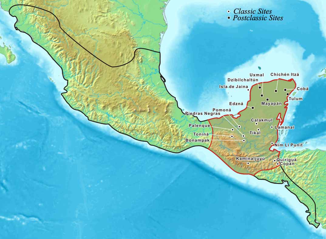
The Maya area within Mesoamerica |
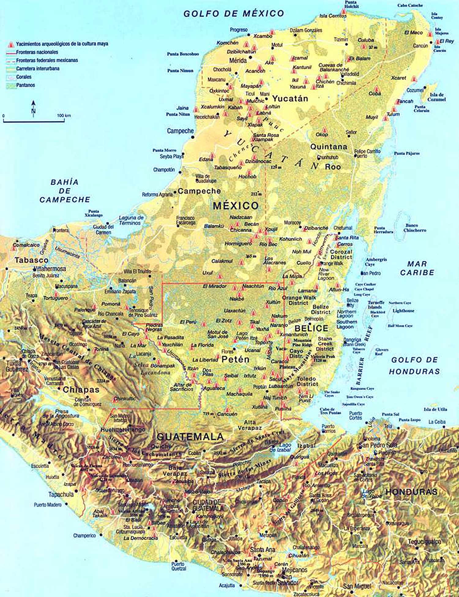
Maya City-States |
1832 |
This 1856 map of Central America was created by the United States Coast and Geodetic Survey |
1713 |
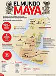
El Mundo Maya |
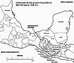
Maya languages spoken before the Europeans came |
1700's map of Central America showing the Caribbean Coast of Belize to Honduras |
|
|
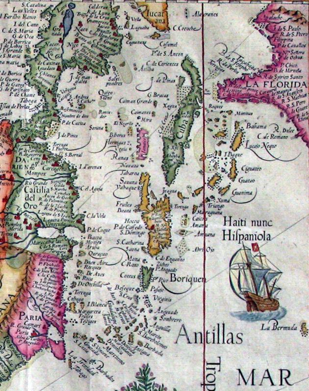
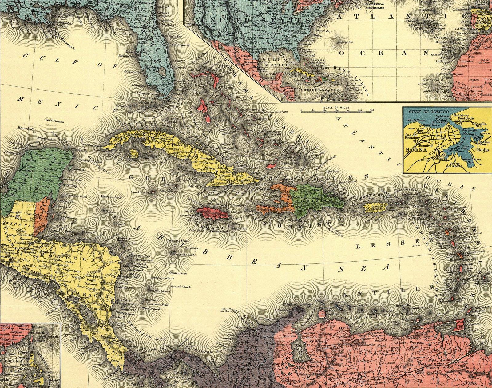
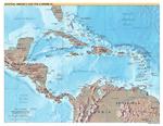
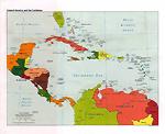
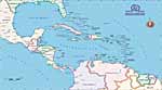
Maps of the Caribbean Top of page
Click maps for larger versions
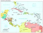
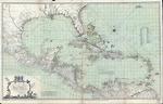
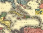
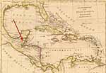
Caribbean |
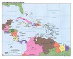
Caribbean |
Caribbean |
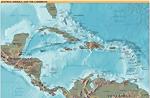
Relief map |
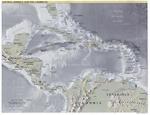
Relief map |
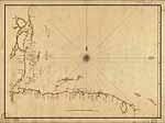
1700's |
1774 |
1898 |
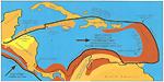
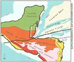
Geological features of the
active boundary zones of the
Caribbean Plate |
Caribbean Nautical Chart
by Savanna |
Extent of the Maya civilization |
Caribbean Map |
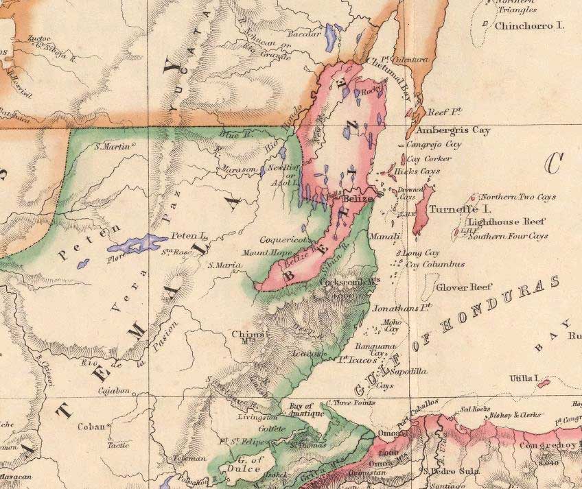
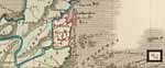
Belize, parts of Guatemala and Honduras. Bay of Honduras, 1856, prior to Treaty of 1859 |
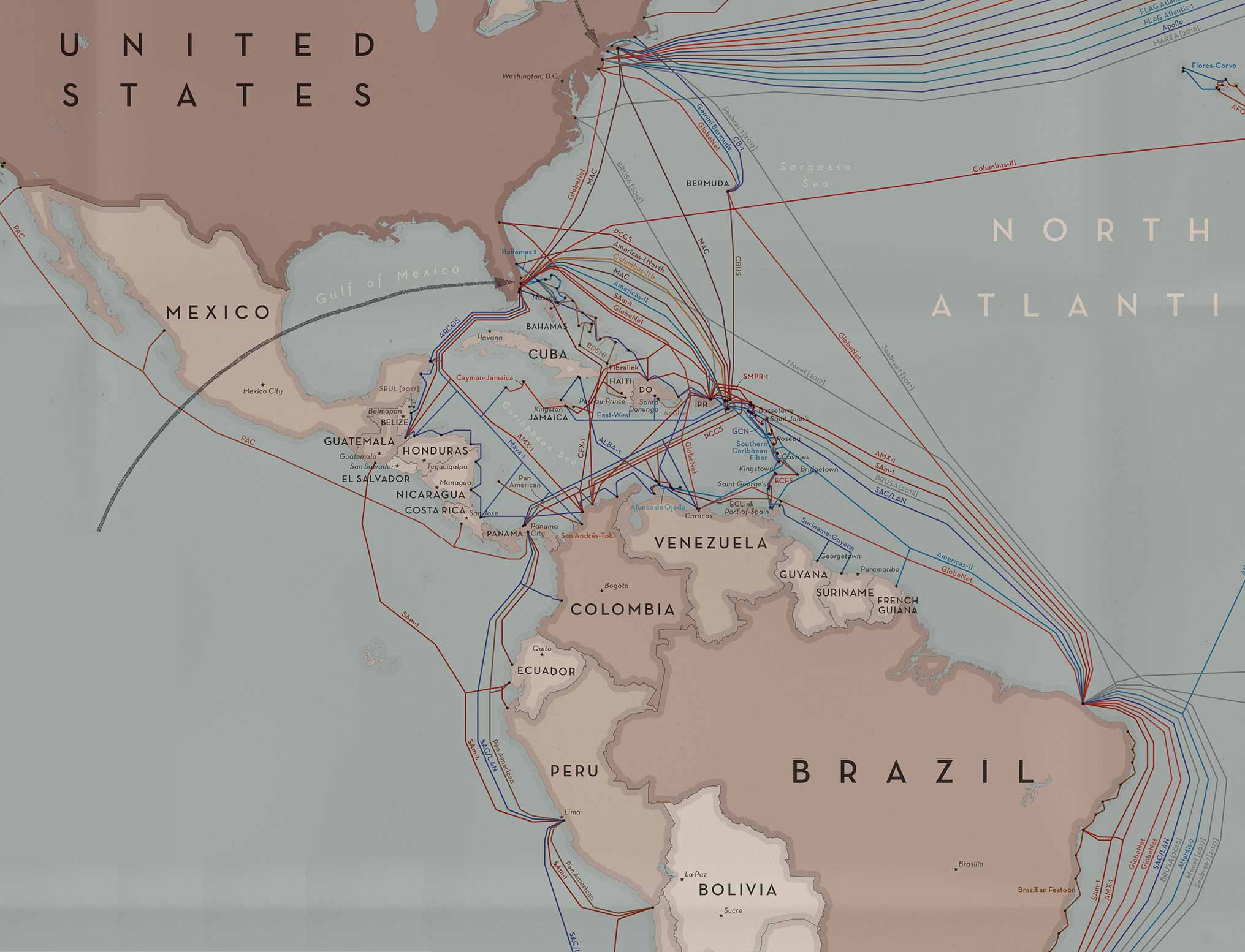
Sea Cables in the Caribbean |
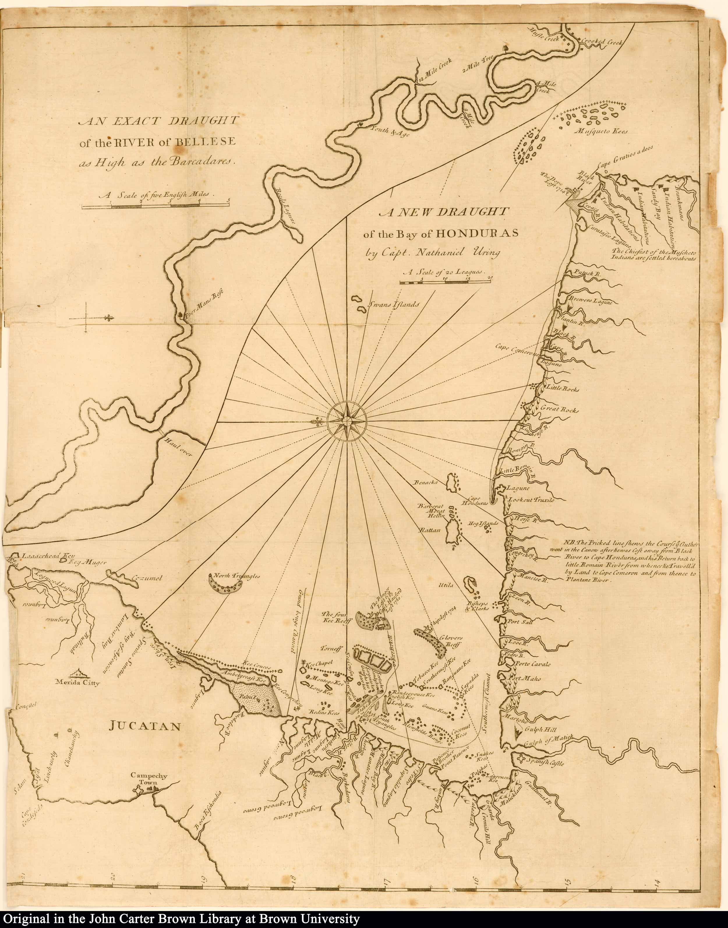
1726 Bay of Honduras by Capt. Nathaniel Uring |
Yucatan, "New Spain," 1673 |
1794 |

1794 |

1796 |

1796 |
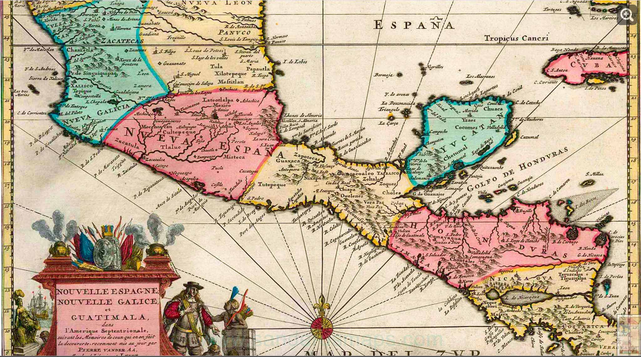
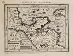
Central America, Nova Hispania, Nova Galicia, Guatimala, 1635 |
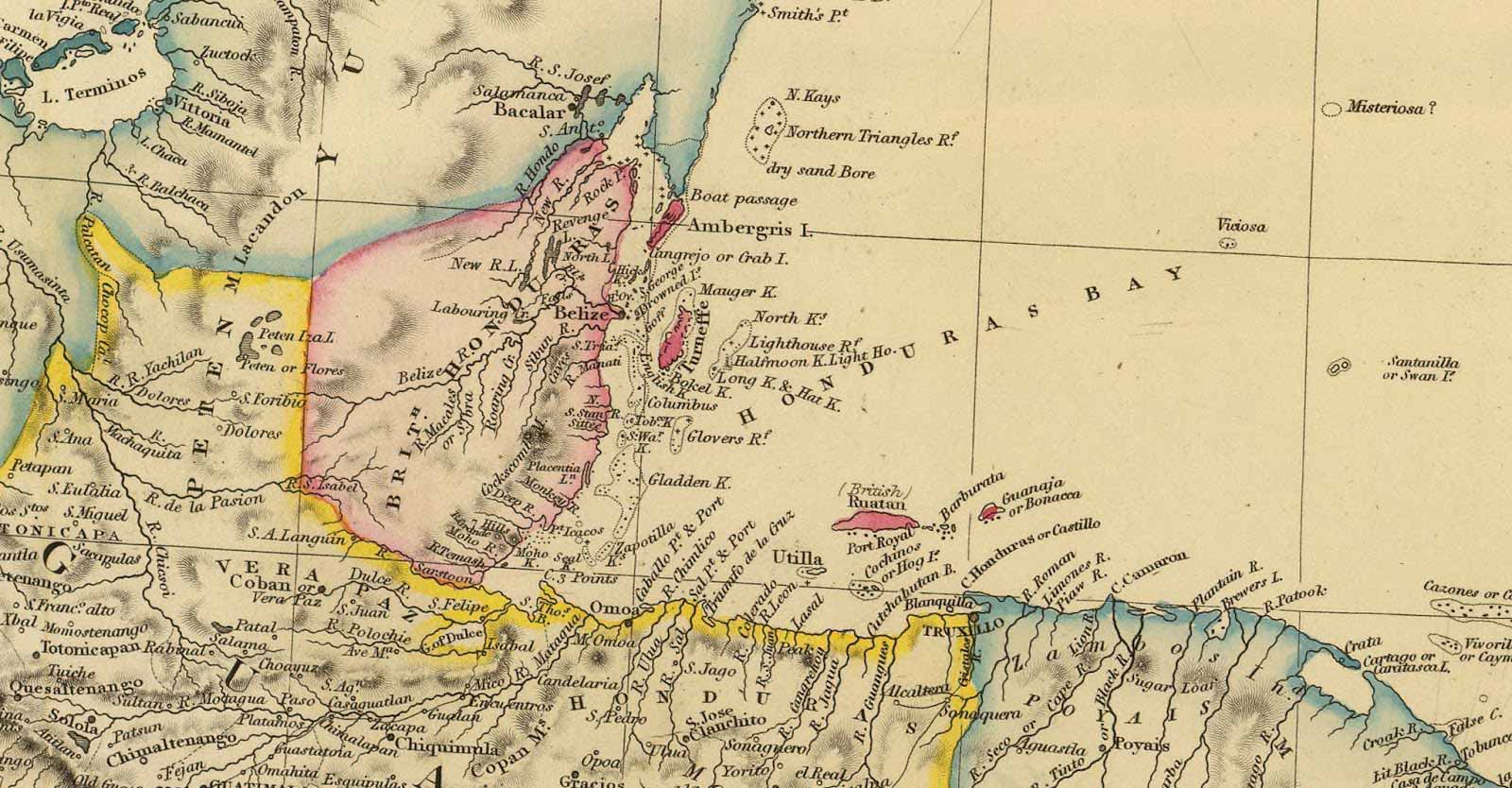
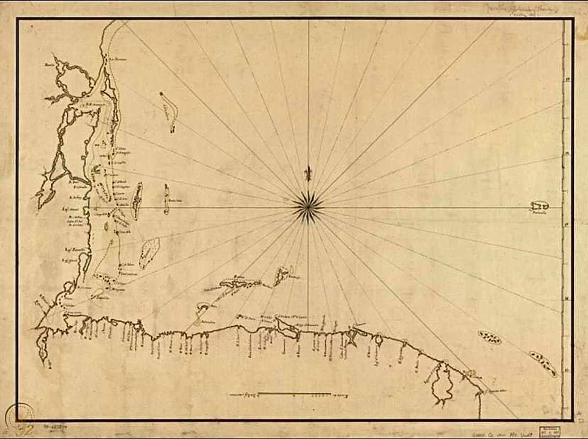
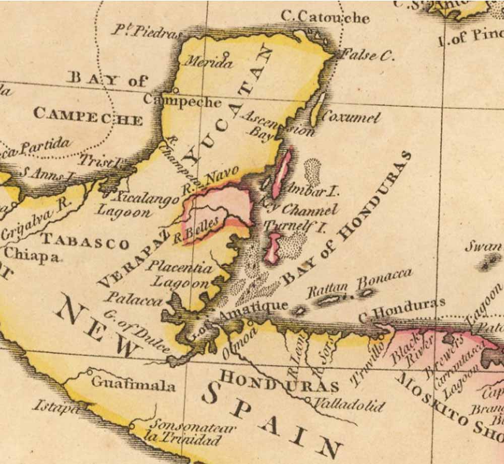
Yucatan, eastern shore within the Bay of Honduras, 1787
Note that this map divided the area by timber resources not by district. Also shows the origin of some of the names. Including the River Wallace, or Balleze. And Ambergrease Key. |
Gulf of Honduras, 1700's |
|
Gulf of Mexico Top of page
Click maps for larger versions
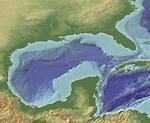
Relief map |
|
|
|
For general information on Belize, click here.
For general information on San Pedro and Ambergris Caye, click here.
For geologic information and maps on San Pedro and Ambergris Caye, click here and here.
For map purchasing, the best general map of Belize is the Belize Travelers Map by ITMB in Vancouver, Canada. It's 250,000:1 scale (6th edition, 2005). Available from amazon.com and www.itmb.com. There is also a Rough Guides map of Belize, but it is inferior to the ITMB.
International Travel Maps
530 West Broadway
Vancouver, B.C.
Canada V5Z 1E9
 |
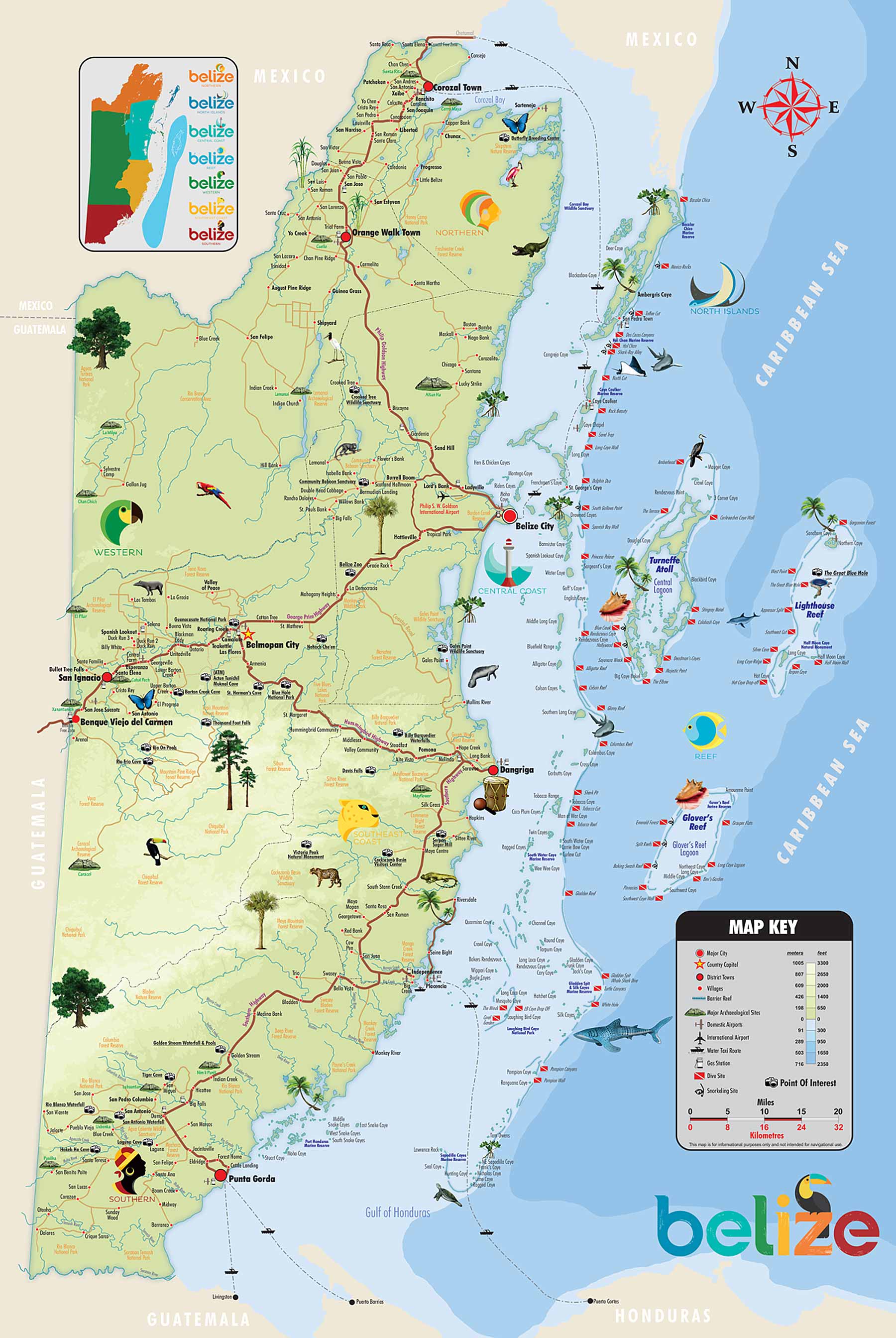
Maps of Belize and Ambergris Caye
|
 |
|